
 English
 Українська
 Български
 Hrvatski
 Čeština
 Dansk
Dansk Nederlands
 Eesti
Eesti Suomi
Suomi Français
 Deutsch
 Ελληνικα
 Magyar
 Íslenska
 Italiano
 Latviešu
 Lietuvos
 Polski
 Português
 Română
 Русский
 Српски
 Slovenčina
 Slovenščina
 Español
 Svenska
 Türkçe
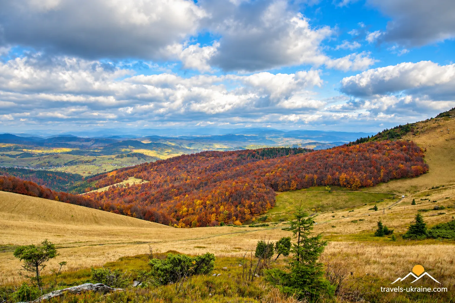
Ruska Put Pass is one of those places in the Carpathians where a modern hiker follows an ordinary mountain trail but is, in fact, retracing the route people used long before trail markers, GPS navigation, and even modern national borders existed. Here, the Carpathian watershed was crossed by an ancient route between the northern and southern slopes of the mountains, and today the pass forms part of tourism along the Watershed Ridge.
However, you should not imagine Ruska Put as a modern road pass with a wide highway, an observation deck, and a café beside a parking lot. Today, people come here primarily on foot. Hiking routes through the pass lead toward Pikuy, Drohobetskyi Kamin, Syanky, and other sections of the Verkhovyna Watershed Ridge.
And it is precisely this simplicity that is initially a little disorienting. In front of you are mountains, a mountain meadow, a trail, and a cross bearing the inscription «Ruska Put»—apparently nothing extraordinary. But once you know the pass’s history, the ordinary trail suddenly becomes part of an ancient transport corridor through the Carpathians, used at different times by merchants, travelers, soldiers, and residents on both sides of the ridge.
Today, Ruska Put is interesting for two reasons at once. For history enthusiasts, it is an old crossing through the Carpathians associated with trade routes, borders, and military events. For hikers, it offers a chance to walk part of the Watershed Ridge, see Pikuy, and take in broad Carpathian panoramas far from major resorts and highways. That is why, in this article, we will try to understand what is actually known about Ruska Put Pass, why it has so many names, what role it played in the past, and what traveling this route is like today. Because sometimes the most interesting road in the Carpathians is the one along which almost no one has been in a hurry for a very long time.
Ruska Put, Ruskyi Shliakh, or Staryi Put—which name is correct?
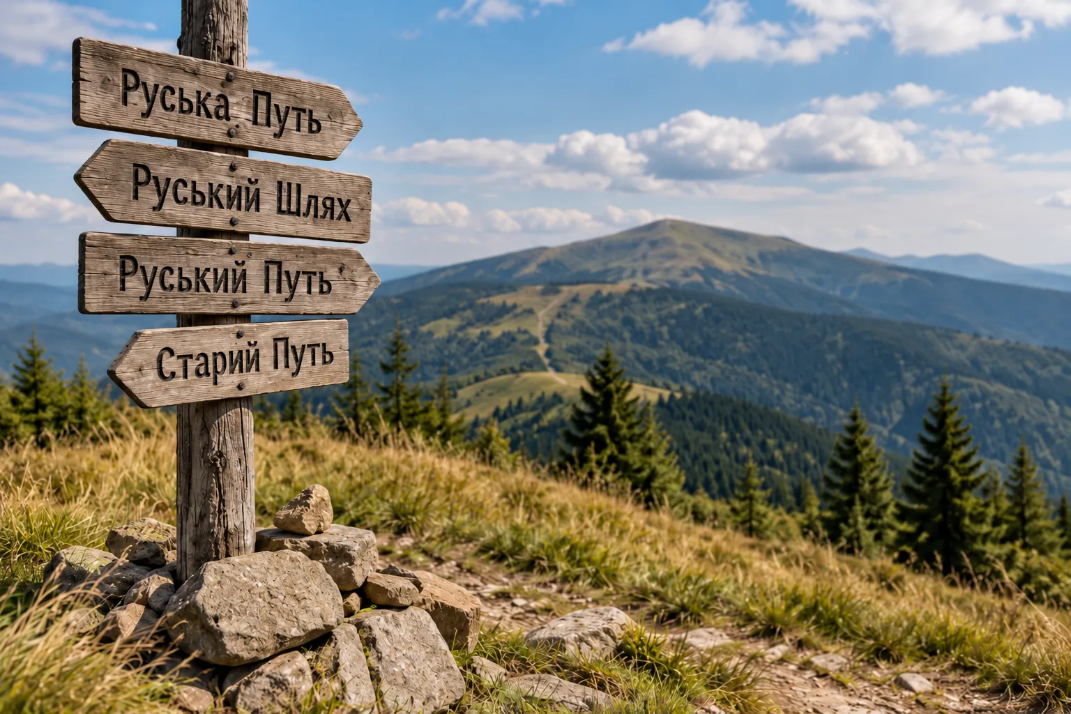
If you start looking for this pass on maps, in tourist guides, or in old local-history materials, a perfectly natural question quickly arises: how many names does it have? Some sources use «Ruska Put,» while others use «Ruskyi Shliakh,» «Ruskyi Put,» or «Staryi Put.» In fact, in the context of this part of the Carpathians, all these variants refer to the same pass across the Verkhovyna Watershed Ridge between Lybohora and Bukovets.
The historical name is most commonly given as «Ruska Put.» The variant «Ruskyi Shliakh» essentially conveys the same name in a more modern Ukrainian form, while «Staryi Put» has survived as another traditional variant. The form «Ruskyi Put» also appears in tourist materials, so if you encounter it on an old map or in a route description, there is no need to look for another pass.
There is another reason for the confusion: the name «Ruska Put» refers not only to the mountain pass itself but also to the ancient route through the Carpathians of which it formed part. In other words, «Ruska Put Pass» is a specific point on the Carpathian watershed, while «Ruska Put» in the broader historical sense means a route of communication through the mountains. So, to spare readers from having to solve a Carpathian linguistic puzzle every time, we will use «Ruska Put Pass» as the main name throughout the article. «Ruskyi Shliakh,» «Ruskyi Put,» and «Staryi Put» should be remembered as alternative names for the same place.
The history of Ruska Put Pass and the ancient route through the Carpathians
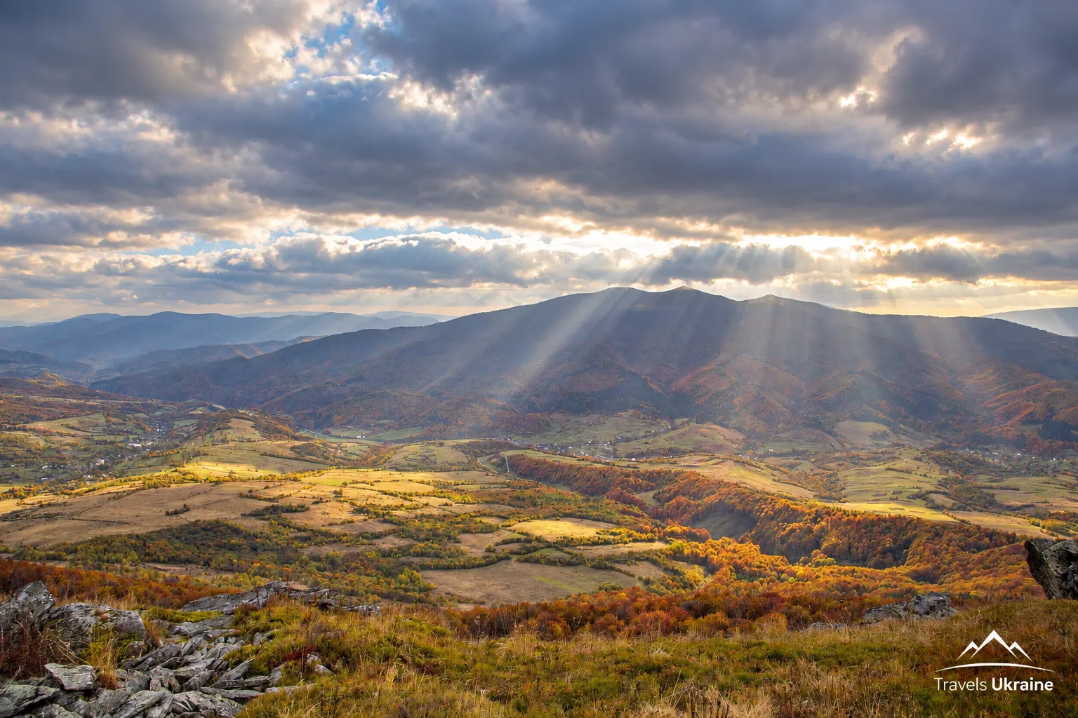
Ruska Put is interesting not so much because of the pass itself as because of the road that crossed the Carpathian watershed for centuries. Today, a hiking trail runs here, but in the past such natural crossings had a very different significance: they made it possible to cross the mountain ridge between Galicia and Transcarpathia and then reach the lands of Central Europe.
That is why the history of Ruska Put is better understood as the history of a transport corridor through the Carpathians. The route’s significance changed with the era: it may have been used by local residents, merchants, military units, and travelers, while in the twentieth century the Watershed Ridge itself became a national border several times.
Did Ruska Put really exist as early as the Neolithic period?
Tourist materials about the pass often contain a striking claim: Ruska Put originated as early as the Neolithic period—more than four thousand years before our era—and is therefore older than the Silk Road. This version is repeated by tourism portals, local-history publications, and even contemporary documents of the Borynia community. Yet an important clarification is needed for accuracy. It is entirely logical that people could have crossed the Carpathians through natural saddles in prehistoric times. Archaeological cultures on both sides of the Carpathians were in contact long before the Middle Ages. But reliably dating the Ruska Put route specifically to the fourth millennium BCE as a defined, established road is considerably more difficult.
Therefore, the phrase «the route existed since the Neolithic» is best understood as a widespread historical and local-history theory, not as the opening date of the first Carpathian highway. The pass itself may certainly have been used long ago, but the name «Ruska Put» arose much later and belongs to a different historical era.
The trade route between Rus’ and Hungary
We can speak with much greater confidence about Ruska Put’s role in the context of the Middle Ages. Carpathian passes were important overland crossings between the lands on either side of the mountains, and the name «Ruska Put»—that is, a route toward Rus’—fits this function well. Popular reconstructions describe the route as part of a much longer trade corridor: from the Balkans and the Danube through the Tisza basin to Transcarpathia, and from there across the Carpathians into the lands of Rus’. It should not be imagined as one permanent road with a clearly defined traffic lane. Medieval trade routes consisted of networks of valleys, passes, and local roads whose course could change depending on the season, political circumstances, and security.
It was the natural terrain that made Ruska Put convenient. In this area, the Watershed Ridge allowed people to move from the northern side of the Carpathians to the southern side without having to cross the region’s highest peaks. The pass opened routes to Transcarpathian settlements, while to the north lay Upper Dniester and Galicia. These routes carried more than goods. Diplomatic missions, church officials, military units, craftspeople, and people moving from one region to another crossed the Carpathians along them. Thus, Ruska Put was not merely a road through the mountains but one of the channels through which neighboring lands maintained contact for centuries.
Danylo Halytskyi, Lev Danylovych, and Ruska Put
Local historical tradition often links Ruska Put with the princes Danylo Romanovych and his son Lev Danylovych. The Kingdom of Galicia–Volhynia maintained active political, dynastic, and military relations with the Kingdom of Hungary, so crossings through the Carpathians genuinely held strategic importance for the rulers of that time. Lev Danylovych’s Hungarian connections were especially close: he was married to Constance, the daughter of King Béla IV of Hungary. Local-history works sometimes claim that Danylo and Lev traveled along Ruska Put during their campaigns and journeys across the Carpathians.
However, caution is needed here once again. The Galicia–Volhynia Chronicle describes numerous contacts and military campaigns of the Romanovych dynasty but does not name this specific pass by the modern name «Ruska Put.» The princes’ connection with the route is therefore entirely possible and firmly established in local tradition, but presenting every individual expedition across this pass as a documented fact would be an exaggeration. Nevertheless, this clearly demonstrates the strategic importance of the region itself: for medieval Galicia, the Carpathians were not an impassable wall but a frontier crossed by several important routes to Hungary.
When a trade route became a border
In the twentieth century, Ruska Put’s role changed sharply. Whereas the pass had once helped people cross from one side of the Carpathians to the other, after the First World War the Watershed Ridge became more than a geographical boundary. Following the collapse of the Austro-Hungarian Empire, the lands north of the pass became part of Poland, while Transcarpathia became part of Czechoslovakia as Carpathian Ruthenia. Thus, the Polish–Czechoslovak state border ran through Ruska Put Pass.
Traces of that era can still be found on the Watershed Ridge in the form of old border posts. For modern hikers, they have become useful landmarks, but almost a century ago they meant something entirely different: within a few steps, a person had crossed into the territory of another state.
In March 1939, the situation changed again. After the occupation of Carpathian Ukraine by Hungary, the Transcarpathian side came under Hungarian rule, and Ruska Put briefly became part of the Hungarian–Polish border. Then, after the partition of Poland in September 1939, Galicia was incorporated into the Ukrainian SSR, so the Watershed Ridge became the route of the Soviet–Hungarian state border. The result was an unusual picture: the trail remained in the same place, while the states on either side changed far more quickly than the Carpathians themselves.
Ruska Put during the world wars
The pass’s strategic location also became apparent during the wars of the twentieth century. Mountain crossings made it possible to bypass heavily fortified valleys and were used to move troops across the Carpathian range. Historical sources associate Ruska Put with the actions of Russian forces during the First World War, particularly with the Carpathian operations of the 1916 Brusilov Offensive. At the same time, accounts of specific units passing through this particular pass are often repeated in popular materials without references to military archives.
This part of the Carpathians became even more important in 1944. On the southern slopes of the mountains, Hungarian and German forces used a system of fortifications known as the Arpad Line. Its purpose was to hold back an advance through the Carpathians, using the mountain terrain itself as part of the defense. During the East Carpathian Operation, troops of the 4th Ukrainian Front attempted to breach this defensive system and reach Transcarpathia. The passes of the Watershed Ridge once again acquired strategic importance, and local historical materials associate Ruska Put with one of the routes used to bypass the fortified positions.
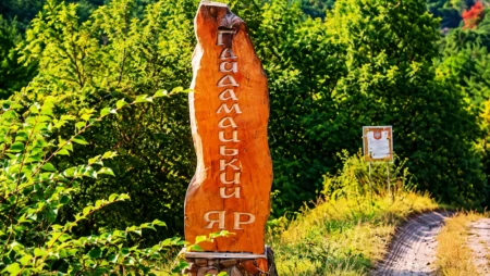
Today, the pass is marked by a large metal cross bearing the inscription «Ruska Put,» which has become the site’s main modern landmark. Tourist descriptions also associate it with the memory of wartime events in the Carpathians.
After the war, the pass once again became merely a boundary
After the end of the Second World War and the incorporation of Transcarpathia into the Ukrainian SSR, the international border disappeared from the Watershed Ridge. Ruska Put found itself within a single state and became an administrative boundary between Lviv and Zakarpattia oblasts. The old trade route gradually lost its transport significance. Roads were built across other passes, while Ruska Put remained a footpath through the mountains.
There is a certain historical paradox in this. Once, merchants, diplomatic missions, and military units traveled through the pass, and state borders ran along it. Today, the main traffic consists of hikers with backpacks heading along the Watershed Ridge toward Pikuy or Drohobetskyi Kamin. The mountains have barely changed in all that time. What has changed is why people cross them.
Where is Ruska Put Pass located?
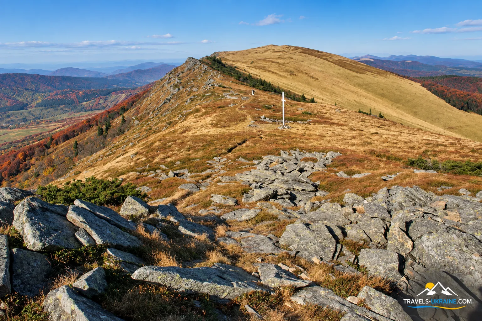
Rуська Путь Pass is located on the Verkhovyna Watershed Range, part of the main Carpathian watershed, which today forms the administrative boundary between Lviv and Zakarpattia oblasts. From the north, the outskirts of the Boyko village of Lybohora approach the pass, while from the south there are mountain roads and trails toward Bukovets and Zhdeniievo.
On a map, it may look like just another saddle among dozens of Carpathian peaks. Yet for centuries, precisely these depressions in the mountain ridge determined where people could cross from one side of the Carpathians to the other with relative ease. Where the surrounding peaks rise much higher, the pass provided a natural corridor across the watershed, eliminating the need to find a route over the steepest slopes.
The Verkhovyna Watershed Range stretches along the northern part of the Ukrainian Carpathians. The Boykivshchyna National Nature Park describes it as part of the main Carpathian watershed, extending from the area of Uzhok Pass to Pikui Mountain. Руська Путь is located on this ridge. Nearby rises Velykyi Verkh — 1309 m, while farther east the ridge continues toward Pikui, the highest peak in this section of the Watershed Beskids and one of the main destinations on modern hiking routes. In other words, Руська Путь is not an isolated point in the mountains. It is part of a long natural line that can now be followed for dozens of kilometres along the watershed itself, passing from one peak and saddle to the next.
What is the elevation of Руська Путь Pass?
There is some confusion about the pass's elevation. Different cartographic sources give figures of approximately 1190 or 1217 metres above sea level. Ukrainian informational and tourism materials, as well as Wikipedia, most often use the figure 1217 m. The difference is probably because some maps record the elevation of the saddle itself, while others show a nearby point on the ridge or use different topographic data. For hikers, this difference is not significant, so the most accurate way to put it is that Руська Путь Pass lies at an elevation of about 1200 metres.
This is already true mountain country, where weather conditions can change much faster than in the valleys. The weather at the pass often differs considerably from that in Lybohora or Zhdениievo: the wind is stronger, fog forms more quickly, sharp temperature changes are more common, and snow cover may last much longer. This is especially important to bear in mind in spring and autumn. Even if it is warm and dry below, the Watershed Range may be cold, wet and windy. Clouds can sometimes cover the peaks within minutes and reduce visibility to a few dozen metres, making a trail that looked familiar on the map suddenly far less obvious.
In winter and early spring, conditions are even more serious: snow, ice, blizzards and poor visibility can make the route considerably more difficult. Regardless of the season, before setting out for the pass, check the forecast specifically for the mountain area rather than relying only on the weather in the nearest settlement.
There is also a pleasant side to this elevation. In clear weather, the area around Руська Путь offers sweeping views of the Verkhovyna Watershed Range, Zakarpattia's valleys and the surrounding peaks. Here, it becomes especially clear that the pass lies not merely between two slopes, but effectively on the natural boundary between two large parts of the Carpathians.
Lybohora and Bukovets — two sides of the same pass
The geography of Руська Путь is best explained by two settlements on opposite sides of the ridge. On the Lviv side, this is Lybohora, a long Boyko village in the valley of the river of the same name, a tributary of the Stryi. The Encyclopedia of Modern Ukraine states directly that the village lies at the foot of the Verkhovyna Watershed Range and Ruskyi Shliakh Pass.
On the other side lie Bukovets and the Zhdениievo valley in Zakarpattia. The footpath across the pass effectively allows hikers to cross from one side of the ridge to the other, much as people did long before modern automobile roads appeared. This geography explains the pass's historical significance better than any legends. People needed a way through the mountains, and nature left a place where that passage was possible.
Hiking routes through Руська Путь
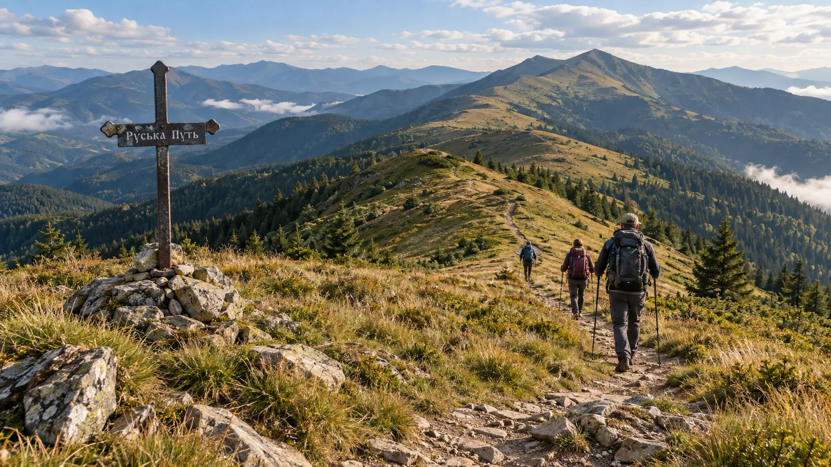
It would be inaccurate to speak of a single route through Руська Путь. The pass itself is a point on the Verkhovyna Watershed Range, while hiking trails approach it from different directions and allow routes of entirely different scales to be planned. You can climb to the pass from Lybohora and return, continue along the ridge toward Pikui, or include Руська Путь in a multiday traverse of a substantial part of the Watershed Range.
So before setting out, the first question should not be «How do I cross Руська Путь?» but something much more practical: «How long do I want to spend in the mountains, and where do I plan to finish the route?» The answer will determine the length of the traverse, elevation gain, amount of water, equipment and even how you return to your car.
The easiest option — climb to Руська Путь from Lybohora
For hikers who want to see Руська Путь Pass itself but are not planning a multiday trek along the Watershed Range, the village of Lybohora on the Lviv side of the Carpathians is a logical starting point. Mountain and forest roads lead from the village toward the watershed, allowing you to gain elevation gradually and reach the pass. This option is considerably shorter than a full ridge route, but in the Carpathians, «shorter» does not always mean «easy.» The climb from the valley is quite demanding, so even a visit to the pass alone requires proper footwear, water and ample time.
For the pass itself, an ordinary hiker should plan a walk into the mountains. The fact that a forest or service road is shown on the map leading to the ridge does not mean that driving a passenger car there is permitted or safe. The condition of such roads changes after rain, forestry work and the winter season, and some sections may have restricted access. If Руська Путь is your only objective, this is the most practical format: climb from Lybohora, see the pass, walk a short section of the Watershed Range and return the same way. For a first introduction to the area, there is no need to turn a walk into a three-day expedition.
Руська Путь and Pikui — a natural continuation of one route
A completely different experience begins if, after reaching the pass, you continue along the Watershed Range toward Pikui Mountain. This combination is the one most often found in hiking routes: Руська Путь becomes not the endpoint but one of the key landmarks on a long ridge trail.
At 1408 metres, Pikui dominates this section of the Watershed Beskids and is clearly visible from open sections of the ridge. From Руська Путь, you still have several kilometres of mountain terrain to cover before reaching the summit, so adding Pikui significantly increases both the duration and the physical demands. In return, this section most closely delivers the experience that draws people to the Watershed Range: open mountain meadows, long rolling ridges, a succession of saddles and peaks, and views on both sides of the Carpathian watershed.
After Pikui, the route can end with a descent toward Bilасovytsia in Zakarpattia. The result is a true traverse across the ridge: you start on one side of the Carpathians, cross the watershed and finish your journey on the other.
The long route: Syanky — Drohobytskyi Kamin — Руська Путь — Pikui
For more experienced hikers, Руська Путь can form part of a much longer trek along the Verkhovyna Watershed Range. One well-known option begins near Syanky, passes through Drohobytskyi Kamin, Руська Путь Pass and Pikui, and ends in Bilасovytsia. According to hiking tracks, this traverse is approximately 38 kilometres long, with a total elevation gain of about 1660–1700 metres. It is already considered a multiday route. This is worth emphasising because older descriptions of Руська Путь sometimes optimistically characterise the entire ridge traverse as «an easy walk for beginners.»
The Watershed Range does indeed have many long, relatively gentle sections without constant steep climbs. But that does not erase the overall distance, wind, changeable weather, the need for navigation and several serious ascents. More than thirty kilometres in the mountains is still more than thirty kilometres, even when the Carpathians are looking exceptionally beautiful.
Drohobytskyi Kamin — one of the route's key points
On the long traverse toward Руська Путь, an important landmark is Drohobytskyi Kamin Mountain, which rises to 1186 metres. A hiking route leading toward the pass and Pikui crosses its summit. The Boykivshchyna National Nature Park connects Drohobytskyi Kamin with the old salt route from Drohobych through Руська Путь. According to the historical interpretation, the summit served as a prominent natural landmark at a place where travellers had to determine the correct direction for the next stage of their journey.
Today, the task is much easier: there are maps, GPS and downloaded tracks. But in fog, even modern technology can quickly remind you why our ancestors valued a mountain that could be seen from far away.
Is the route through Руська Путь marked, and how difficult is the hike?
This requires particular care. Marked hiking routes pass through the Руська Путь area, including red routes along the Watershed Range, but not every option available for download from a hiking website is fully marked on the ground. For example, some popular tracks from Syanky through Drohobytskyi Kamin, Руська Путь and Pikui to Bilасovytsia are explicitly identified by their authors as unmarked or partially marked. So the principle of «I’ll see paint on a tree and figure out the rest somehow» is a poor one here.
Before setting out, download the route to your phone in GPX format or use an app with an offline map. It is also advisable to carry a backup power source. On an open ridge, navigation is relatively easy in clear weather, but fog can remove both the neighbouring summit and your confidence that «there’s only one road anyway» within a few minutes.
The route's difficulty depends greatly on the option you choose. A short outing to the pass from Lybohora and a multiday traverse via Drohobytskyi Kamin and Pikui are effectively two different hiking objectives. A physically fit person without extensive mountain experience can certainly visit Руська Путь in favourable weather by the shorter route. But a long traverse of the Watershed Range requires endurance, the ability to use a map and navigation tools, suitable equipment and realistic time planning.
In particular, do not assess difficulty solely by the elevation difference between neighbouring points. In the mountains, fatigue comes not only from steep climbs but also from long distances, uneven ground, wind, wet grass, heat or several hours of walking in the rain.
Frequently asked questions about Руська Путь Pass
Where is Руська Путь Pass located?
Руська Путь Pass is located on the Verkhovyna Watershed Range of the Ukrainian Carpathians, on the boundary between Lviv and Zakarpattia oblasts. It lies between the areas of the villages of Lybohora on the Lviv side and Bukovets on the Zakarpattia side, near Velykyi Verkh peak and the route to Pikui Mountain.
Are Ruska Put, Ruskyi Shliakh, and Staryi Put the same place?
Yes. Tourist and local-history sources use the names «Ruska Put,» «Ruskyi Shliakh,» «Ruskyi Put,» and «Staryi Put» for this pass. In addition, the name «Ruska Put» also refers to the ancient route across the Carpathians of which the pass itself was a part.
Can you drive directly to Ruska Put?
A mountain road just over three kilometers long leads to the pass from Lybokhora, but its condition may change after rain, snow, and forestry work. For the average hiker, it is more reliable to plan to walk the final section rather than count on reaching it by passenger car without checking the road conditions in advance.
Is the route through the Ruska Put Pass difficult?
The difficulty depends on the route chosen. The short hike to the pass from Lybokhora is accessible to most physically fit hikers in good weather. By contrast, the full traverse of the Watershed Range via Drohobytskyi Kamin, Ruska Put, and Pikui may exceed 30 km and take several days. It is therefore inaccurate to describe all routes through the pass as equally easy.
Can you reach Mount Pikui via Ruska Put?
Yes. Ruska Put is part of one of the routes to Pikui. From the pass area, the trail follows the Watershed Range via Velykyi Verkh toward the summit of Pikui. Some hiking descriptions estimate the distance from the pass to the summit at approximately 8 km.
Is the hiking route through Ruska Put marked?
Marked hiking routes pass through the area of the pass, but not all popular route options are fully marked. For example, some long treks from Sianky via Drohobytskyi Kamin, Ruska Put, and Pikui are described as unmarked or partially marked. Before setting out, it is recommended that you download a GPX track and an offline map.
When is the best time to visit the Ruska Put Pass?
For most hikers, the most comfortable period is late spring, summer, and early autumn. Daylight lasts longer then, and there is usually no persistent snow cover. Weather on the exposed Watershed Range can change very quickly, so the forecast should be checked immediately before setting out.
Can you cross Ruska Put in winter?
Technically, the route is accessible in winter as well, but its difficulty increases substantially. Deep snow, strong winds, ice, fog, and short daylight hours can make even a familiar route dangerous. Winter crossings are best left to hikers with experience in winter mountain trekking and the appropriate equipment.
How old is the Ruska Put route?
Local-history and tourist materials often state that the route through this area was used as early as the Neolithic period. However, it is difficult to date the specific Ruska Put route precisely to the 4th millennium BCE. Its historical importance as a crossing of the Carpathians and a trade route between the lands of Kyivan Rus and Hungary during the medieval period is much better documented.
Essential Information about the Ruska Put Pass
Ruska Put — the ancient route the Carpathians have preserved to this day
The Ruska Put Pass is unlikely to impress travelers with monumental architecture or ready-made tourist infrastructure. There is no castle, observation tower, or large visitor center here. There is a ridge, a trail, wind, open Carpathian vistas, and the feeling that people crossed these mountains through this same natural saddle long before us. That is where Ruska Put’s greatest value lies. Today we come here with a backpack and a navigator and photograph Pikui on our phones, while once this pass was part of a road connecting lands on opposite sides of the Carpathians. Trade routes passed through it, state borders shifted, armies moved along it, while the Watershed Range remained in place, patiently watching as people divided the territory yet again.
Ruska Put is also interesting because everyone can experience it in their own way. For some, it is a short hike from Lybokhora to the pass. For others, it is just one point on a long route via Drohobytskyi Kamin and Pikui. And for some, the feeling that a few steps can take you across the Carpathian Watershed and onto the other side of the mountains is enough. Even so, the route should not be underestimated. The Carpathians are exposed here, the weather changes quickly, and long ridge traverses require good physical fitness, navigation skills, and sufficient time. Ruska Put does not present hikers with technical mountaineering challenges, but neither does it forgive the attitude of «it looks really close on the map.»
And perhaps the best way to view this pass is without grand claims about the «oldest road in Europe» or attempts to prove that every famous historical campaign passed through this exact spot. It does not need that. The mere existence of an ancient crossing through the Verkhovynskyi Watershed Range, its medieval significance, old borders, and modern hiking routes already make Ruska Put interesting enough. Sometimes history is preserved not in walls and museum exhibits. Sometimes it remains simply a road through the mountains—the same road people walked for centuries before you.

No Comment
You can post first response comment.