
 English
 Українська
 Русский

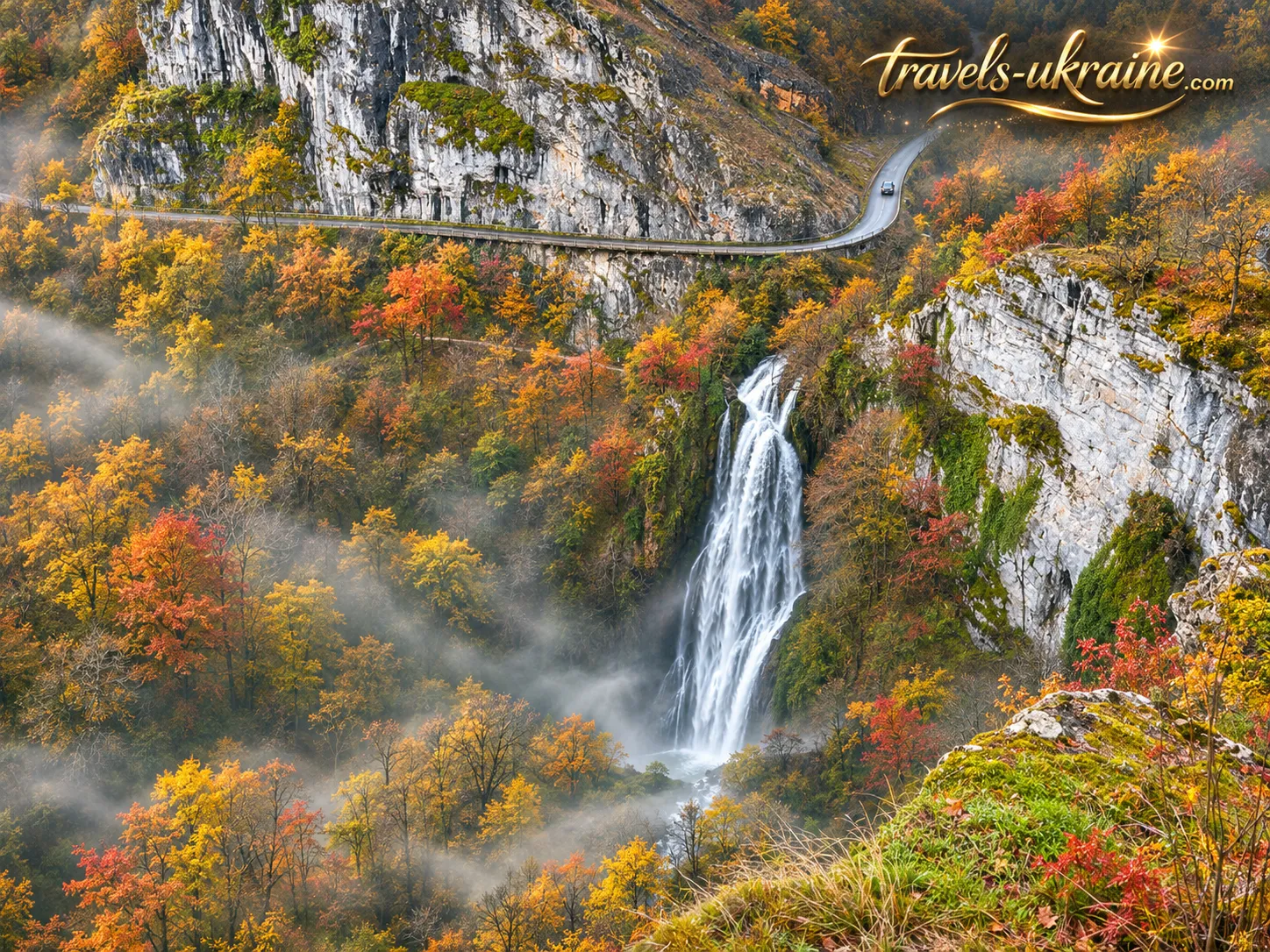
French Occitanie is a region of remarkable natural contrasts, where the majestic Pyrenees stand alongside picturesque river valleys, ancient caves and medieval villages that seem to have preserved the atmosphere of centuries gone by. Yet among this diversity are places whose existence you might never suspect, even when passing just a short distance away. One such hidden gem lies among towering limestone cliffs near the small French village of Autoire.
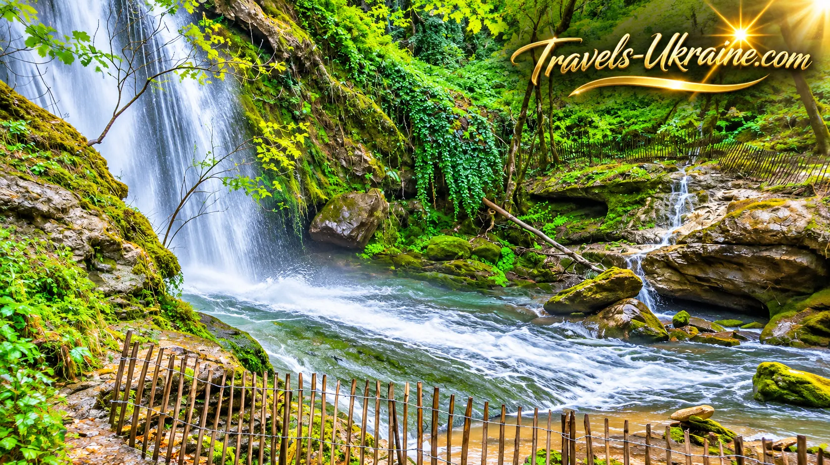
This is where you will find Autoire Waterfall (Cascade d’Autoire) — one of the most spectacular natural waterfalls in Occitanie and the highest in the Lot department. Its waters plunge from a height of approximately 30 metres, creating a picturesque cascade in the heart of an enormous rocky amphitheatre. Depending on the season and the amount of rainfall, the waterfall can transform into a powerful torrent or become almost invisible against the surrounding stone walls.
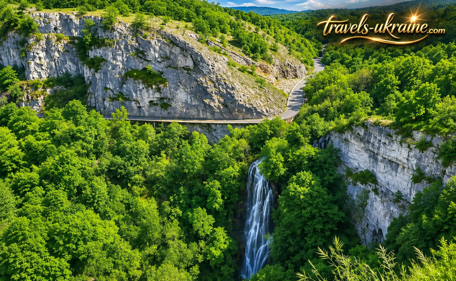
But what makes this place truly impressive is not just the waterfall itself, but the extraordinary setting nature has created for it. Imagine an enormous semicircular gorge surrounded by steep limestone cliffs, with lush green trees growing at their base and water emerging between rocky ledges. This is the natural amphitheatre of Autoire (Cirque d’Autoire) — an extraordinary landscape shaped by geological processes over immense periods of time. It almost seems as though someone deliberately carved a gigantic bowl into the mountainside, leaving the waterfall at its centre as the crowning feature.
So, let's set off on a journey through the picturesque landscapes of Occitanie! We will discover Autoire Waterfall, uncover the secrets of its natural amphitheatre, explore its history and find out why this remarkable corner of nature deserves the attention of travellers seeking something more extraordinary than the usual tourist attractions in France.
Autoire Waterfall — 30 Metres of Natural Grandeur
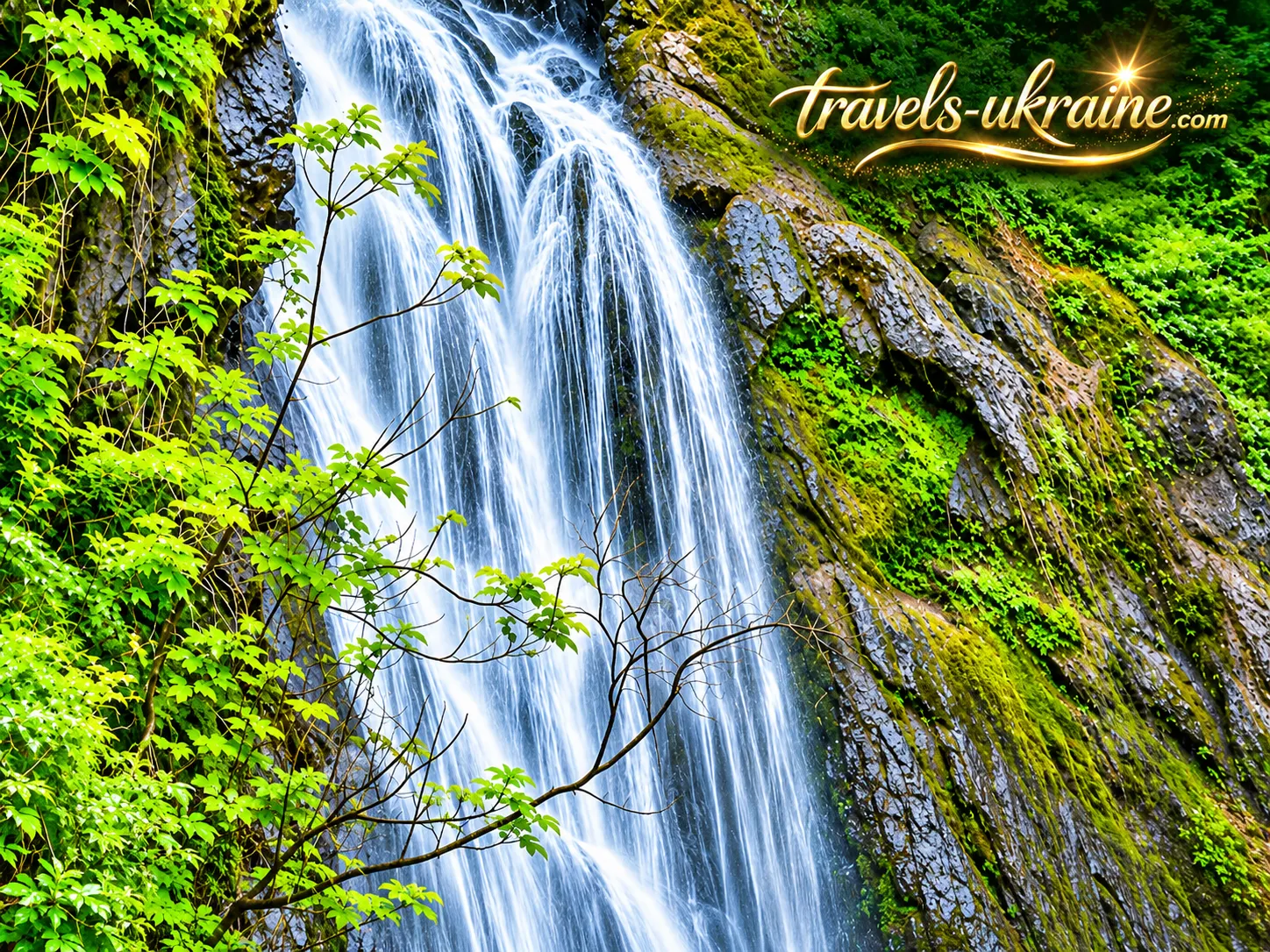
France is home to many waterfalls that impress visitors with their power and immense scale. However, Autoire has an entirely different character. Its beauty lies not so much in the force of the water as in the remarkable combination of towering cliffs, lush greenery and a cascade plunging from a height amid the picturesque landscapes of Occitanie. Here, even a small stream can create a spectacle worth leaving your car behind, following a woodland trail and forgetting the hustle and bustle of city life, if only for a little while.
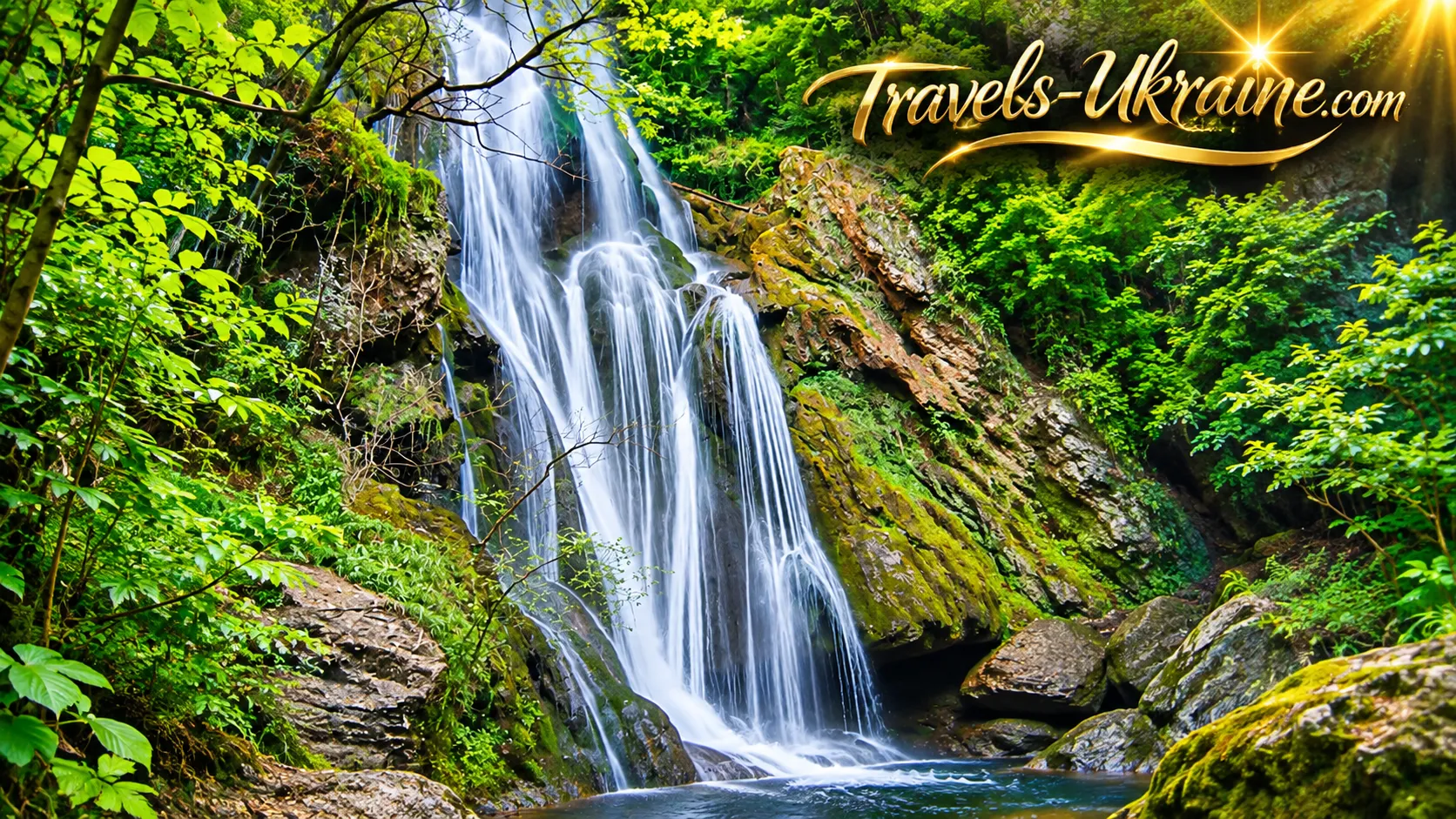
Autoire Waterfall stands 30 metres high, making it the tallest waterfall in the Lot department. Of course, compared with the world's gigantic waterfalls, this figure may seem modest. But nature does not always measure beauty in metres or volumes of water. Sometimes, a single picturesque cascade is enough to turn an ordinary walk into a truly memorable discovery.
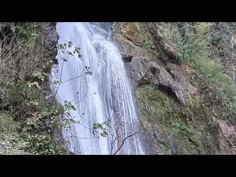
The waterfall's location makes it particularly striking. Water tumbles over a rocky ledge surrounded by vegetation, mosses and irregular stone surfaces. In wet weather, the cascade transforms into a shimmering silver curtain that contrasts beautifully with the dark cliffs. During dry periods, it may become considerably more subdued, revealing the natural contours of the rock face along which the water finds its way.
The Toire Stream — Where Does Autoire Waterfall Originate?
The waterfall owes its existence to the Toire Stream (Ruisseau du Toire), which flows through a picturesque valley near the village of Autoire. When its waters reach a high rocky ledge, they plunge downwards, creating the famous 30-metre cascade. At first glance, it may seem surprising that a relatively small stream can produce such an impressive natural landmark. But the secret lies not only in the amount of water. The area's distinctive terrain also plays an important role: a sudden change in elevation forces the stream to tumble over the cliff, while the limestone formations create an unusual surface for the water to flow across.
One of the waterfall's distinctive features is calcareous tufa, a porous rock formed through the deposition of calcium carbonate from water. Over long periods, these mineral deposits gradually alter the appearance of the rock surface, creating irregularities, protrusions and natural hollows. As a result, Autoire Waterfall is not only visually captivating but also fascinating from a geological and natural history perspective.
The moisture provided by the stream creates favourable conditions for mosses, ferns and other plants. They cover the rocks like a green carpet, while individual streams of water make their way through the vegetation, forming small additional cascades. This is precisely why Autoire Waterfall appears so harmonious: water, stone and plants seem to have become parts of a single masterpiece created by nature.
Autoire Waterfall in Spring, Summer, Autumn and Winter
When planning a visit to Autoire Waterfall in France, it is worth remembering one important detail: the volume of water flowing over the falls depends directly on rainfall. Unlike powerful waterfalls fed by major rivers, Cascade d’Autoire can change its appearance considerably throughout the year.
In spring, the surrounding countryside gradually comes back to life, trees develop fresh leaves, and the valley slopes become covered in greenery. When rainfall is sufficient, the waterfall takes on a particularly striking appearance, while the combination of fresh vegetation and shimmering water creates wonderful opportunities for nature photography.
In summer, conditions can be entirely different. During prolonged droughts, the Toire Stream becomes noticeably shallower, so instead of a broad cascade, visitors may see only thin trickles of water running down the cliff. Nevertheless, the surrounding area remains attractive thanks to its shaded sections, dense vegetation and more pleasant microclimate near the damp rock faces.
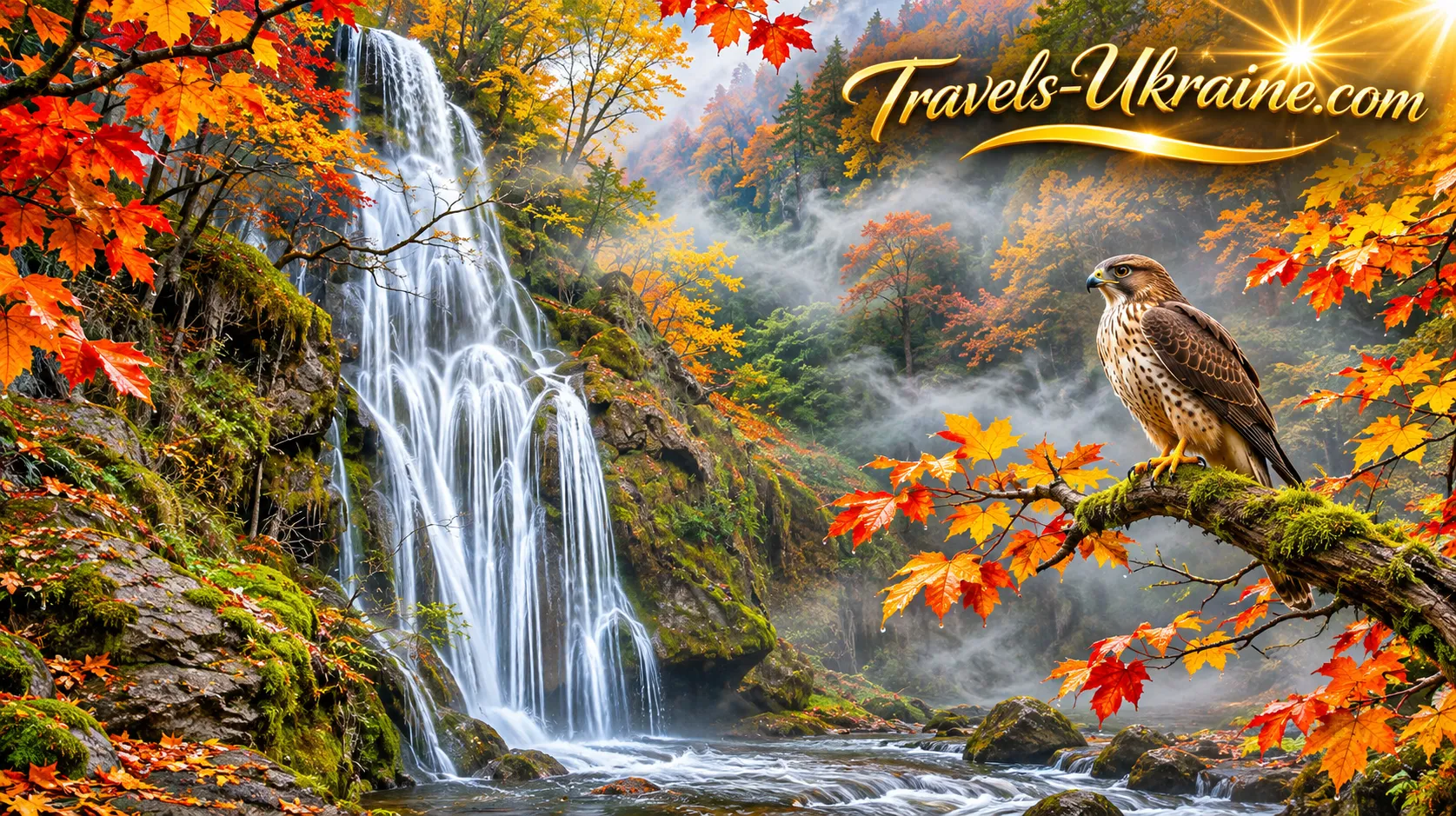
In autumn, the waterfall often reveals its most spectacular side. Following heavy rainfall, the flow becomes stronger, water rushes noisily over the rocky ledge, and the surrounding trees gradually turn golden and crimson. The contrast between the pale water, dark wet cliffs and colourful autumn leaves is particularly picturesque.
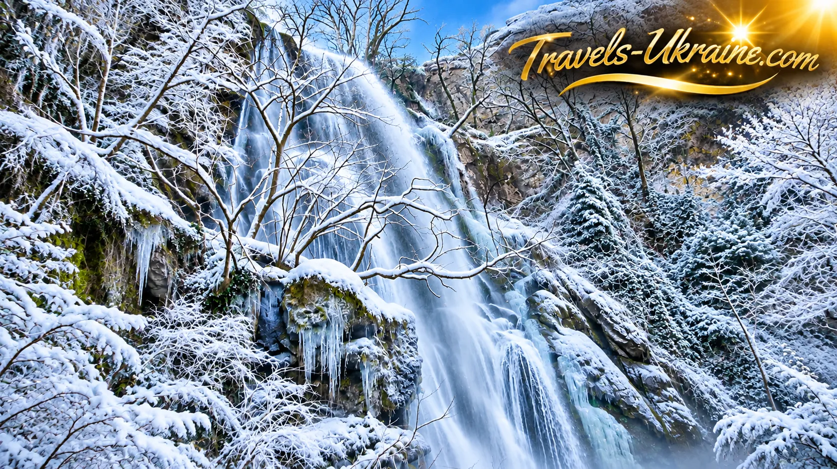
In winter, Autoire can also offer some remarkable surprises. During prolonged periods of freezing temperatures, water and moisture on the rocky surfaces may freeze, forming icy deposits and icicles. Under suitable weather conditions, sections of the cascade can transform into an impressive wall of ice. However, such formations are not guaranteed every year, as winters in Occitanie can vary considerably.
According to the Lot department's tourist information service, the best chances of seeing Autoire Waterfall at its fullest are in autumn or winter, particularly after periods of rainfall. This is when the cascade displays its power and beauty most dramatically.
At the Foot of Autoire Waterfall — A Natural Wonder Worth Seeing Up Close
From a distance, Autoire Waterfall resembles a bright ribbon winding through green cliffs. However, near its base, an entirely different scene unfolds. Here, visitors can observe the irregularities of the rock surface, moisture-soaked mosses, small streams of water and natural hollows formed along the rocky slope. Depending on the season, the atmosphere is accompanied either by the gentle trickling of water or by the considerably louder roar of the cascade. The air feels cooler near the damp cliffs, while dense trees provide partial shelter from the sun. This natural freshness can be especially welcome during the heat of summer.
Interestingly, Autoire Waterfall attracted visitors long before modern tourist facilities appeared. As early as the beginning of the 20th century, holidaymakers from the spa town of Alvignac, known for its mineral springs, travelled here on excursions. A small viewing platform was even carved directly into the rock near the waterfall. Long before that, however, the waters of the Toire Stream had a very practical purpose for local residents. They powered watermills operating near the cascade. One stood farther downstream, while another was located directly beside the upper edge of the waterfall. Traces of these structures have survived to the present day, including sections of water channels carved into the calcareous tufa.
Today, the waterfall area forms part of an Espace Naturel Sensible (Sensitive Natural Area), a protected natural site of considerable importance for conserving local plants and wildlife. For this reason, swimming in the stream and at the foot of the waterfall is prohibited. Instead, visitors can admire the cascade from accessible sections of the walking trail, photograph the surrounding landscapes and enjoy the atmosphere of this extraordinary place.
Autoire Waterfall does not attempt to impress visitors with record-breaking heights or extraordinary volumes of water. Its true appeal lies in its natural character, ever-changing appearance and picturesque surroundings. One day, it may resemble a delicate silver curtain; the next, a powerful cascade following a downpour; and during severe winter frosts, an extraordinary composition of ice. Each of these appearances is beautiful in its own way. Yet the most fascinating feature of this landscape becomes apparent when you look a little higher above the waterfall itself. The enormous limestone cliffs surrounding it form one of the most remarkable natural landscapes in the Lot department — the natural amphitheatre of Autoire (Cirque d’Autoire). And the story of how it came into existence deserves a closer look.
The Natural Amphitheatre of Autoire — Geological History and the Secrets of the Cliffs
If nature ever decided to build its own open-air theatre, the natural amphitheatre of Autoire could easily be considered one of its finest creations. Enormous limestone cliffs form a semicircular wall of rock, with green trees growing at their base and a picturesque waterfall cascading down in the depths of the valley. And all of this was created without a single architect, construction machine or human intervention — simply through natural processes unfolding over millions of years.
The geological history of this area began long before humans appeared. The limestone rocks that make up the Causse de Gramat plateau were formed mainly during the Jurassic period, when large areas of present-day France lay beneath ancient seas. Carbonate sediments, including the remains of marine organisms, gradually accumulated on the seabed before becoming compacted and transforming into thick layers of limestone. During subsequent geological periods, these rocks were subjected to tectonic movements, uplift, fracturing and gradual erosion by natural forces. Water penetrated the cracks, dissolved some of the limestone and slowly reshaped the landscape. These processes were among the main factors responsible for the development of the region's characteristic karst landscapes.
In geology, valleys of this type are known as reculées — deep, steep-sided valleys that cut into the edge of a limestone plateau and terminate in a dramatic rocky amphitheatre. Such landforms are characteristic of certain regions of France, including the Jura Mountains and the limestone plateaus of Quercy. The Autoire Valley belongs to this category. It forms a deep indentation in the northern part of the Causse de Gramat plateau, with its upper section ending in a narrow rocky cirque where the famous waterfall is located. The gradual erosion of rock, the action of water and geological deformation together shaped the landscape that now attracts tourists and nature researchers.
Interestingly, the Autoire amphitheatre is not a volcanic crater, although its semicircular shape may sometimes suggest such an origin. Instead, it is the result of a long interaction between geological structures, erosion and the particular characteristics of the local rock formations. In other words, what we see today is not the aftermath of an ancient catastrophe, but the result of nature's slow and persistent work.
The Padirac and Siran Faults — The Hidden Geological History of Autoire's Cliffs
One of the most fascinating geological features of the natural amphitheatre of Autoire is the presence of two closely situated tectonic faults — the Padirac Fault (Faille de Padirac) and the Siran Fault (Faille de Siran). Both played an important role in shaping the complex structure of the surrounding cliffs.
A geological fault is a zone where the continuity of rock formations has been disrupted, allowing individual blocks of the Earth's crust to move relative to one another. Such processes occur as a result of forces within the Earth and can significantly alter the landscape. In the Autoire area, movements of the Earth's crust led to the formation of two nearly parallel faults. Between them, the limestone layers underwent deformation: rather than remaining in their original horizontal positions, some of the rocks bent and folded into unusual shapes. These structures are known as the folds of Autoire Waterfall.
What makes these formations particularly interesting is that some rock layers appear as though they have been deliberately bent or tilted. Certain folds have a distinctive shape known to French geologists as “chapeau de gendarme”, meaning “gendarme's hat”. The name comes from the resemblance between the curved rock layers and the traditional headgear once worn by French gendarmes.
These geological formations can be observed in the upper part of the valley, near the waterfall. They provide remarkable natural evidence that even solid layers of rock can change shape under enormous tectonic forces. It is precisely this combination of faults, deformed limestone strata and the prolonged action of water that makes the geology of Autoire so fascinating. Hidden behind the scenic beauty of the cliffs is a history of movements within the Earth's crust — a story that can easily go unnoticed if the landscape is viewed merely as a picturesque setting for photographs.
The Karst Landscapes of Quercy — How Water Reshapes Limestone Cliffs
Another important factor in the formation of the local landscape has been karst processes. Limestone gradually dissolves when exposed to water containing dissolved carbon dioxide. This process takes place very slowly, but over thousands and millions of years it can create complex underground cavities, fractures, caves and unusual surface formations.
This is why the limestone plateaus of Quercy are famous not only for their picturesque cliffs but also for their numerous karst formations. One of the best-known examples is Padirac Chasm (Gouffre de Padirac), located not far from Autoire. It reveals another aspect of the same natural characteristic of the region — water's ability to gradually penetrate limestone formations and create vast underground spaces.
On the surface of the plateau, karst processes are visible in the form of cracks, grooves and depressions. One particularly characteristic formation is limestone pavement, known in French as lapiaz — areas of exposed limestone covered with natural channels and fissures formed by the gradual dissolution of rock by rainwater. However, the karst nature of the area has another fascinating feature: much of the water does not remain on the surface but seeps through numerous fractures in the rock. As a result, limestone plateaus may contain relatively dry areas even where groundwater-bearing layers exist deep underground.
An unusual example is the Siran Spring (Fontaine de Siran). It is located near the edge of a cliff, approximately 150 metres above the level of the stream in the valley. Its water is retained by a layer of less permeable marly limestone situated between geological faults. This has created a local aquifer that supplies the spring.
This natural mechanism clearly illustrates just how complex the movement of water through limestone formations can be. In some places, water quickly disappears underground; elsewhere, it accumulates above impermeable layers before eventually emerging at the surface as natural springs.
The Natural Environment of the Autoire Amphitheatre — From Damp Gorges to Dry Cliffs
The geological characteristics of Cirque d’Autoire influence not only the shape of the landscape but also its vegetation. Within a relatively small area, several different natural environments coexist: shaded and damp areas at the foot of the cliffs, wooded slopes, exposed rocky ledges and dry, sunlit surfaces of the limestone plateau. Near the stream and in the lower part of the valley, moisture creates favourable conditions for mosses, ferns and trees. The towering rock walls partially shade these areas, meaning that the local microclimate can differ noticeably from that of the open plateau above.
By contrast, conditions on sun-exposed rocky outcrops are considerably harsher. The soil layer is often extremely thin, water quickly runs off or seeps through the limestone, and plants must adapt to a lack of moisture. These contrasts contribute to the development of diverse natural habitats within a relatively limited area.
Interestingly, the valley's modern green appearance was shaped not only by natural processes. In the past, the surrounding slopes were used much more extensively for agriculture. Vineyards, orchards and pastures once occupied these areas, while timber was harvested for local needs. As a result, approximately a century ago, large sections of the cliffs and slopes were far more open than they are today. As traditional agricultural activities declined, parts of the landscape gradually became covered with trees and shrubs. The wooded scenery of modern-day Autoire is therefore the result not only of geological and natural history, but also of changes in the lives and activities of the local population.
From Autoire Waterfall to the Château des Anglais — A Journey Through Nature and History
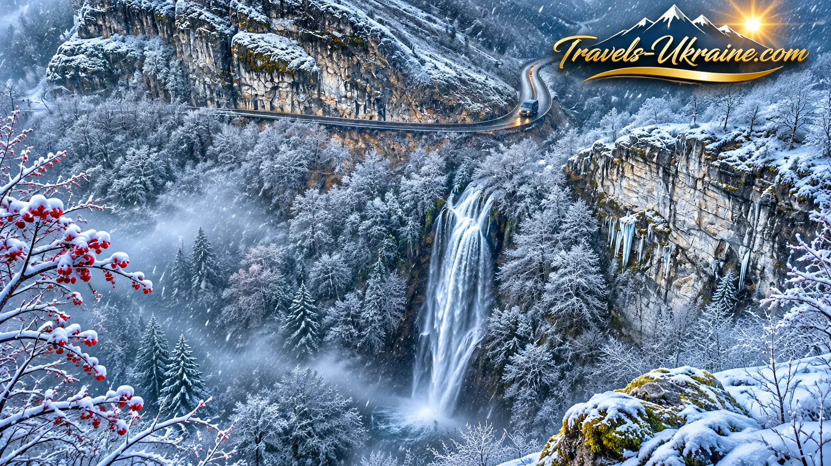
Imagine a walk that begins along the charming streets of an old French village, continues past a picturesque waterfall and ends among the ruins of a medieval fortress literally nestled against an enormous cliff. Does it sound like the plot of an adventure film? In fact, you can experience all of this on a single hiking trip through the beautiful Autoire Valley in the French region of Occitanie.
The hiking route from Autoire Waterfall to the Château des Anglais offers an opportunity to combine France's natural wonders, medieval history and unforgettable panoramic views. Here, the walking trail gradually climbs from the green valley floor towards towering limestone cliffs, revealing a completely different perspective on a landscape that, just a short while earlier, could only be admired from below.
The official circular hiking trail, La reculée d’Autoire, is approximately 5.6 kilometres long, with an elevation gain of around 239 metres, and takes roughly 2 hours and 30 minutes to complete. It is classified as a moderately difficult route, although some sections cross steep, rocky slopes. Therefore, this walk requires not only curiosity but also a reasonable level of physical fitness. The reward is a series of breathtaking landscapes that change with almost every metre of elevation gained, along with an encounter with a fortress whose history is closely intertwined with the dramatic events of medieval France.
The Autoire Hiking Trail — From the Historic Village to the Waterfall
The official route begins in the centre of the village of Autoire, near its historic fountain. This small settlement is listed among the most beautiful villages in France and has preserved numerous traditional stone houses, historic manor houses and architectural features characteristic of the Quercy region. From the central fountain, the trail follows the main street past a local restaurant before turning onto a small road towards the waterfall through the area known as Le Paradou. Gradually, the village buildings are left behind, the road descends towards a stream, and trees, stone walls and green hillsides become increasingly prominent.
After crossing the stream, the route continues towards the small settlement of Le Paradou, beyond which the paved road gives way to an ordinary dirt path. Here, the atmosphere changes completely: village streets are replaced by woodland, stone façades give way to natural cliffs, and a picturesque valley gradually opens up ahead. It is important to pay attention to the trail markings along this section. Part of the route follows the extensive GR long-distance hiking network, marked with red and white stripes. Farther along, the path to the waterfall branches off onto a yellow-marked PR trail that follows the stream.
A small metal footbridge allows visitors to cross to the opposite bank. From there, turn right and continue walking towards the foot of the waterfall. This is an ideal place for the first longer stop, offering an opportunity to admire the natural attraction up close. However, for those eager to discover more, the waterfall is only the beginning of the adventure. The valley's most spectacular panoramic views and the mysterious Château des Anglais await much higher up.
Climbing from Autoire Waterfall to the Limestone Plateau
After exploring the waterfall, return along the same path towards the metal footbridge. Shortly before reaching it, another trail branches off to the right, climbing the hillside towards the upper section of the natural amphitheatre. This is where the walk becomes noticeably more demanding. The trail gains elevation, crosses rocky sections, winds between trees and gradually leads hikers towards the upper edge of the cliff formation. Depending on the weather, the ground may be damp and exposed rocks can become slippery, so it is advisable to take your time along this section.
Watching the surrounding landscape change during the ascent is particularly fascinating. At the foot of the waterfall, the towering cliffs seemed almost like impenetrable walls. As you climb, they gradually move to the side, while new views of the valley appear through the trees. The trail leads towards the upper section of the waterfall, passing close to the stream and a small stone bridge. From there, the route continues along the cliffs towards viewpoints offering elevated panoramas of the natural amphitheatre of Autoire.
This part of the route is especially appealing to nature photographers. Instead of the familiar view of the waterfall from below, an entirely different perspective unfolds: a narrow valley, green slopes, towering rock walls and expansive views stretching towards the village.
The Siran Viewpoint — A Panoramic View of the Autoire Valley
One of the most interesting stops along the hiking trail is the Siran Viewpoint (Belvédère de Siran), located in the upper part of the natural amphitheatre. From here, visitors can enjoy particularly spectacular panoramas of the cliffs, waterfall and surrounding valley. While the waterfall itself was the main attraction at the bottom of the valley, the enormous scale of the entire landscape takes centre stage here. From this elevated position, it becomes clear just how deeply the valley cuts into the limestone plateau of Causse de Gramat and how unusual its semicircular rocky headwall really is.
The waterfall, which seemed quite tall when viewed from below, now appears as a relatively narrow pale ribbon among enormous stone walls. Trees cover the lower part of the gorge, while beyond the cliffs, rolling hills and green landscapes stretch across the Quercy region. To reach the main panoramic viewpoints, the route follows old rocky paths, some bordered by low stone walls. Metal stairways have been installed in certain sections to help visitors negotiate changes in elevation near the cliffs.
The Château des Anglais in Autoire — A Medieval Fortress Hidden in the Cliffs
The Château des Anglais, also known as La Roque d’Autoire, is one of the most unusual medieval fortifications in the Lot department. Its most remarkable feature is its location directly on a narrow rocky ledge beneath an enormous limestone overhang. From a distance, the fortress is surprisingly difficult to spot. Its stone walls closely match the colour of the surrounding cliffs, while the surviving structures blend so naturally into the landscape that they appear to be an extension of the rock formation itself.
The best-known surviving section of the castle is only about two metres wide. It is difficult to imagine how medieval builders managed to construct a fortified structure with several levels, defensive features and rooms on such a narrow ledge. However, the fortress was not limited to the section visible today. In the past, the defensive complex extended much farther along the rocky slope. It included fortified buildings, living quarters, defensive walls and a small settlement situated on natural terraces below the main castle.
In the French region of Quercy, structures of this kind were known as roques or rocas — rock fortifications that made use of natural ledges and cavities in limestone formations for defence and temporary habitation. The Château des Anglais is an example of a semi-troglodytic fortress: part of its protection was provided by man-made stone walls, while the rest came from nature itself. The enormous cliff served as a natural shelter, and the narrow approaches made it possible to control access to the fortification.
This location was therefore particularly well suited to observing the surrounding valley and defending against unexpected attacks. Medieval defenders did not need to build high walls on every side — nature had already done much of the work for them.
Frequently Asked Questions About Autoire Waterfall and Château des Anglais
Where is Autoire Waterfall located in France?
Autoire Waterfall (Cascade d’Autoire) is located near the village of Autoire, in the Lot department of the Occitanie region, southwestern France. It lies among the limestone cliffs of the natural amphitheatre known as Cirque d’Autoire, approximately 8 km west of the town of Saint-Céré. The most convenient way to reach the waterfall is to drive to the village and then continue on foot along a designated hiking trail.
Where can you park near Autoire Waterfall?
There are two main car parks in the village of Autoire: Parking du Ruisseau at the northern entrance and Parking Saint-Roch at the southern entrance. From Parking Saint-Roch, visitors can access the hiking trail leading to the waterfall directly. According to the official website of the local municipality, parking a passenger car at either location costs €3 per day. Dedicated spaces for motorhomes are available at Parking du Ruisseau, with a rate of €7 for 24 hours. It is advisable to check the current parking fees before travelling, as prices may change.
How long does it take to walk to Autoire Waterfall?
A hiking trail approximately 1.2 km long each way leads from the car park on the outskirts of the village to the waterfall. The walk usually takes around 20–30 minutes, depending on your pace and trail conditions. The official short circular route to the waterfall covers 2.7 km, has an elevation gain of 114 metres and takes approximately one hour to complete. Some sections are rocky and may become slippery, so comfortable hiking shoes are recommended.
Is there an entrance fee to visit Autoire Waterfall?
There is no separate admission fee for visiting Autoire Waterfall independently via the hiking trail. The main expense for visitors arriving by car is parking. If you are planning a simple walk to the waterfall or an independent hike through the natural amphitheatre, you do not need to purchase an entrance ticket. Organised guided tours and other tourist services may involve additional charges.
When is the best time to visit Autoire Waterfall?
The best time to see Autoire Waterfall at its fullest is during autumn and winter, particularly after heavy rainfall. In spring, the waterfall can also be very picturesque, with the surrounding landscape covered in fresh greenery. During prolonged summer droughts, however, the water flow may decrease considerably, sometimes becoming little more than a few narrow streams. For photography, it is best to choose a clear day following a period of rainfall, while avoiding dangerous rocky sections during bad weather.
Is swimming allowed at Autoire Waterfall?
No, swimming in the Toire Stream and at the foot of Autoire Waterfall is prohibited. The area forms part of an Espace Naturel Sensible (Sensitive Natural Area), where regulations are in place to protect the local ecosystem. Water, wet rocks and the rocky streambed may also pose safety risks. Visitors are welcome to admire and photograph the waterfall from accessible sections of the trail while respecting the conservation rules.
Can you visit Autoire Waterfall with children?
Yes, the walk to the foot of Autoire Waterfall is suitable for families with children who are already confident walking on natural trails. However, the route is not completely level and includes tree roots, stones and sections that can become slippery after rain. It is not suitable for pushchairs. The more demanding climb towards Château des Anglais passes close to steep cliffs and requires considerably greater caution. Therefore, families with very young children may prefer to limit their visit to the waterfall itself.
Can you visit Autoire Waterfall and Château des Anglais on the same walk?
Yes, Autoire Waterfall and Château des Anglais can be explored on a single hiking route known as La reculée d’Autoire. The official circular trail is 5.6 km long, has an elevation gain of 239 metres and takes approximately 2 hours and 30 minutes to complete. The route passes through a wooded valley, alongside the waterfall, across upper rocky sections and towards viewpoints near the medieval fortress. For a relaxed walk with plenty of opportunities for photography, it is advisable to allow half a day.
How do you get to Château des Anglais in Autoire?
Château des Anglais can be reached by hiking trails from the village of Autoire or from the upper part of the natural amphitheatre. One of the most convenient options is to leave your car near Siran, walk to the panoramic viewpoint and then continue along the cliffs towards the fortress. The final sections involve rocky ascents, narrow passages and steps. Before visiting, it is important to check any current access restrictions: being able to approach the ruins does not necessarily mean that entering the historic structures is permitted.
Is the hiking route to Autoire Waterfall and Château des Anglais dangerous?
The short walk to the waterfall is moderately challenging, but the complete route to Château des Anglais requires caution and appropriate footwear. Some sections cross steep slopes, rocky paths and areas close to high cliffs. Surfaces become slippery after rain, and rockfalls may occur during thunderstorms, strong winds or thawing conditions. Hiking along the more difficult rocky sections is not recommended in adverse weather, after dark or without adequate physical preparation.
Autoire Waterfall — Where Nature Meets History
France has a remarkable ability to surprise visitors with much more than majestic castles, the famous Louvre Museum, the romantic streets of Paris and the Eiffel Tower. Sometimes, its most fascinating treasures are hidden far from major cities — among green valleys, historic villages and cliffs that preserve stories spanning centuries. Autoire Waterfall in Occitanie is precisely such a place. At first glance, it may appear to be an ordinary natural cascade, but in reality, it marks the beginning of a fascinating journey in which every turn of the trail reveals something new.
There is no need to search for grand attractions or artificial entertainment here. The most memorable experiences are provided by nature itself: water cascading over a high limestone ledge, an enormous natural amphitheatre, peaceful woodland trails and panoramic views of the valley from the surrounding cliffs. And just when it seems that the most interesting sights are already behind you, the medieval Château des Anglais emerges among the rocky outcrops — a fortress that time and nature have almost transformed into part of the cliff itself.
It is this remarkable combination that makes Autoire so special. During a single walk, visitors can witness the results of geological processes that unfolded over millions of years, admire the architectural heritage of the Middle Ages and experience the atmosphere of the French countryside, where life moves at a gentler pace than in major tourist destinations.
And if, during your next journey through Occitanie, you feel like venturing beyond the most popular tourist routes, remember the little village of Autoire in the Lot department. Sometimes, walking just a few kilometres along a woodland trail is enough to discover a place where the natural beauty of France and its centuries-old history meet quite literally on the same rocky ledge.
Perhaps it is precisely these unexpected discoveries that make travelling truly unforgettable. After all, the most treasured memories often come not from the places everyone talks about, but from those we have had the pleasure of discovering for ourselves.


No Comment
You can post first response comment.