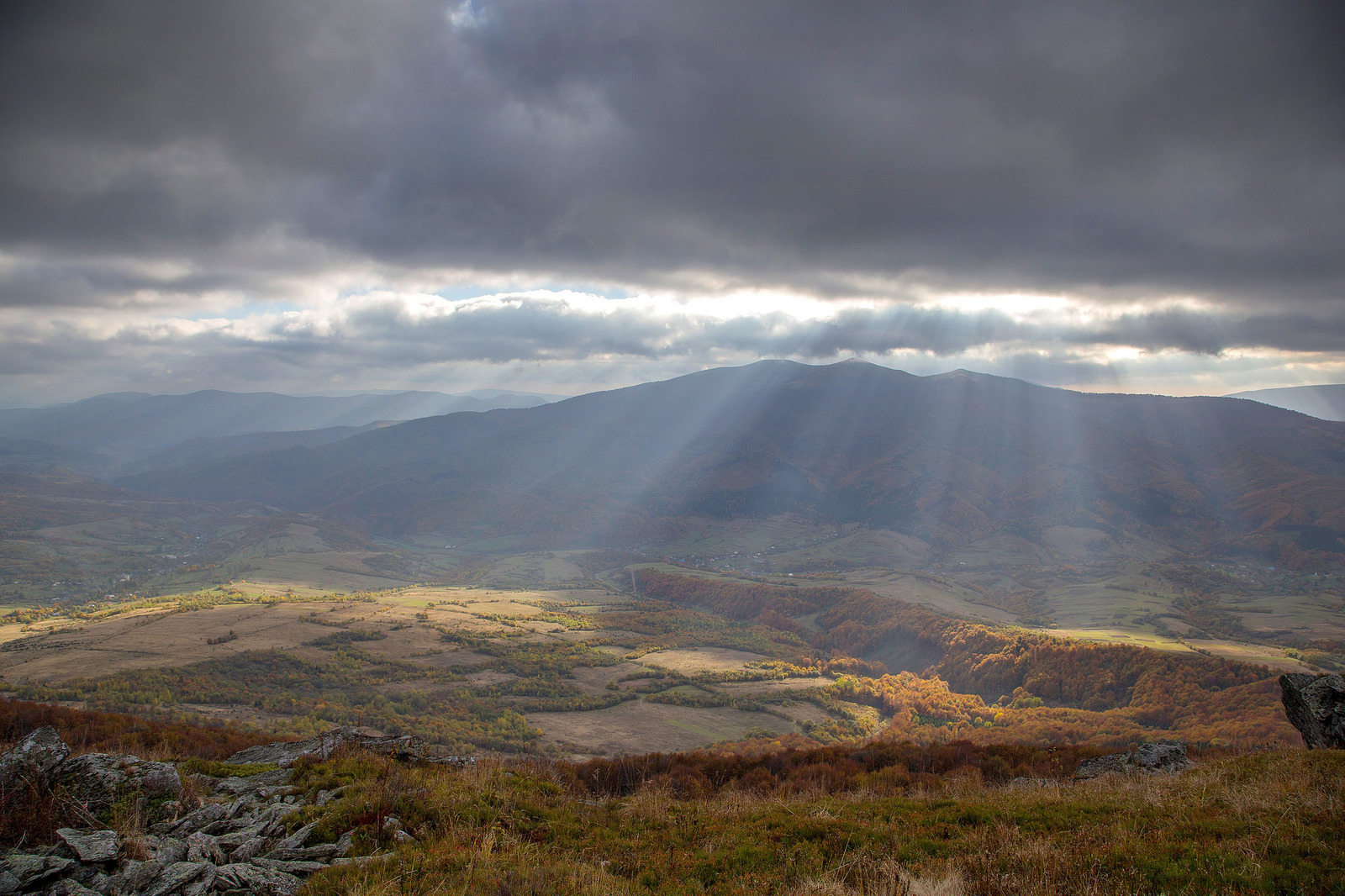
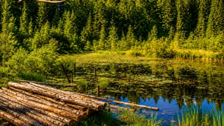
 And this is the other side of the ridge, Lviv region
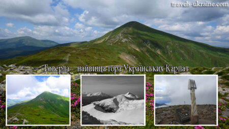
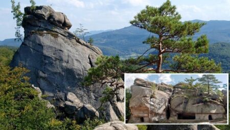
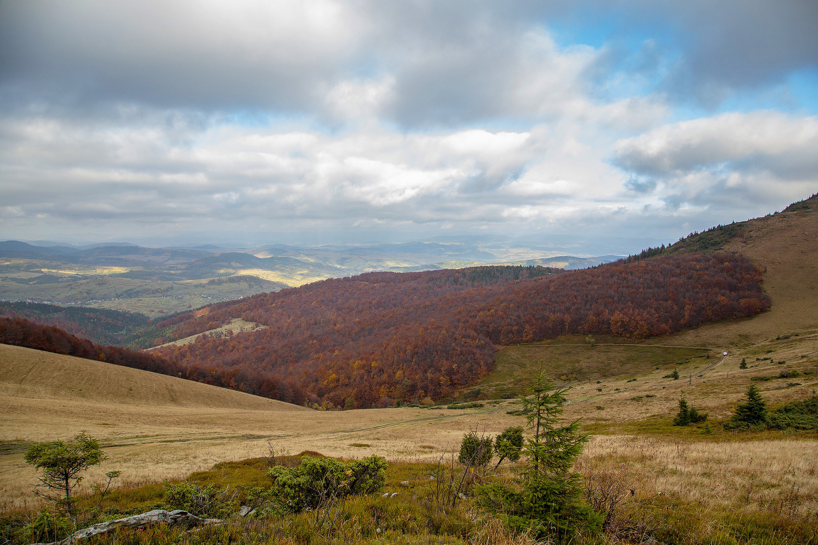 Surprisingly beautiful place attracts, like a magnet, tourists from all over Ukraine.
Such an excitement is quite understandable.
After all, here is laid the most popular hiking tour, with a length of 33 km.
Wishing to overcome the most famous in the world pass more than enough.
Surprisingly beautiful place attracts, like a magnet, tourists from all over Ukraine.
Such an excitement is quite understandable.
After all, here is laid the most popular hiking tour, with a length of 33 km.
Wishing to overcome the most famous in the world pass more than enough.
Pass "Russian way" history
The Russian way in the Carpathians is a natural boundary, which in its time divided the states. Through this pass to the present day lies a path that, as shown by undeniable historical facts, is ancient even for the famous silk road. It should be noted that the road to the Russian Way existed here 4000 years BC. e. In the old days, the pass played an important, commercial, political and military role. Today, here rises a cross with the inscription "Russian Way", as a reminder of the old times. Russian The road that had important commercial significance took its origin from the Balkan Peninsula further ran through the Danube, and then climbed Tisa - and from it continued its journey to the Carpathian Pass. In the end, the road ended in Kievan Rus, from here the pass and was called the "Russian Way". Naturally, time has changed and made its own corrections, but the modern generation remembers the importance of the pass to this day. About this memo of the millennium is mentioned in many chronicles, historical documents, books, history lessons. And let on the modern map there is no Kievan Rus and Galicia-Volyn principality but there is Ukraine and its rich history, which the people remember and appreciate. A vivid confirmation of this, Pass the Russian way.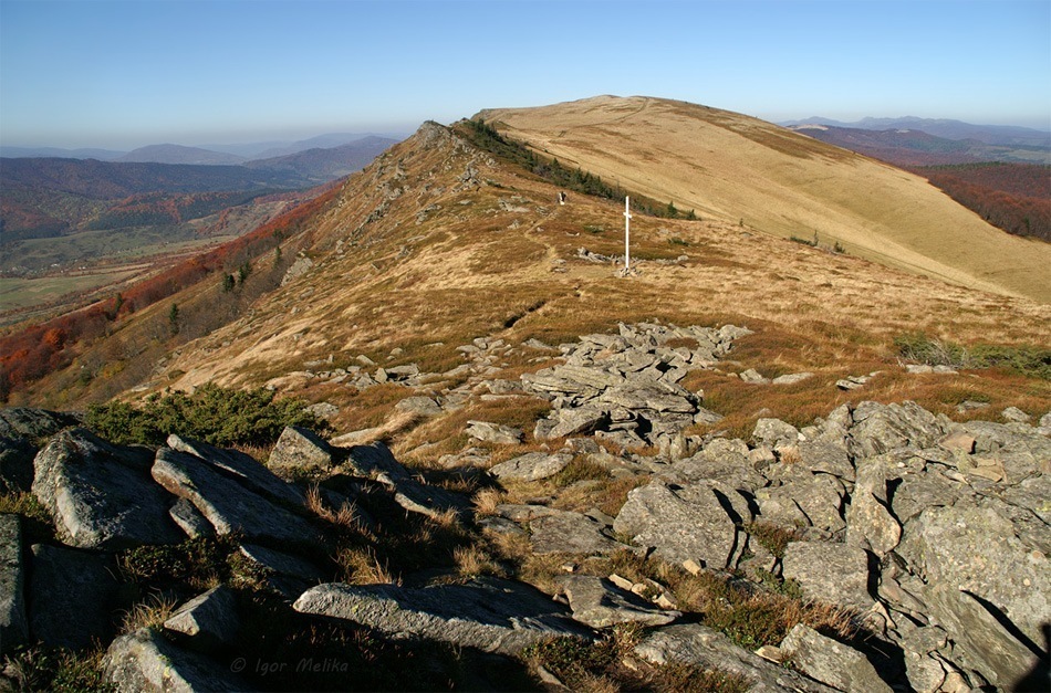
Tourist route through the pass Russian Way
To begin with, it should be noted that the entire route through the pass will take at least two days. Therefore, it is necessary to stock up in advance with the necessary things and products for a given period. Pay attention to your shoes, it should be primarily convenient, since you will have to overcome a little more than 33 km. For those who plan to go on such a journey for the first time, there is no need to be scared, the route is not complicated and even a beginner will cope with them. And so, along the route you will get to the top of Drohobych Stone, then - to "Russian Way", then you will find yourself on the highest mountain of Lviv region "Pikuy". From the top of Mount Pikuy you can go down to the villages of Zhdenievo or Bilasovici - these settlements are spread out on different sides of the mountain.Route map
Uzhok - Drohobitsky Kamen - Pass Russian way - the city of Veliky Top - Pikuy - Belisovitsa village.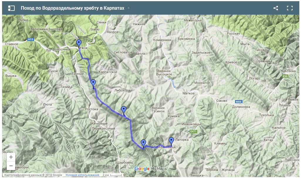
Location
Adress: Pereval Russian Way, Lviv region.
GPS coordinates: 48.886944, 22.932222
Copyright belongs to .
Copying of the material is permitted only with an active link to the original:
Pass the Russian way (Carpathians)

No Comment
You can post first response comment.