
 English
 Українська
 Български
 Hrvatski
 Čeština
 Dansk
Dansk Nederlands
 Eesti
Eesti Suomi
Suomi Français
 Deutsch
 Ελληνικα
 Magyar
 Íslenska
 Italiano
 Latviešu
 Lietuvos
 Polski
 Português
 Română
 Русский
 Српски
 Slovenčina
 Slovenščina
 Español
 Svenska
 Türkçe
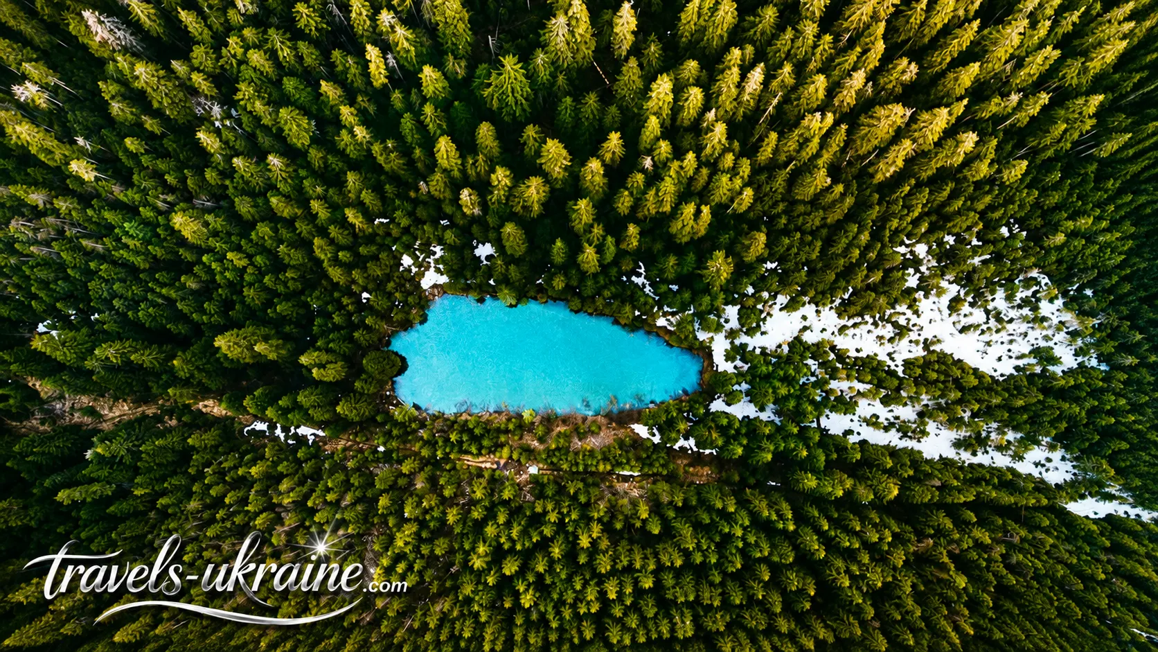
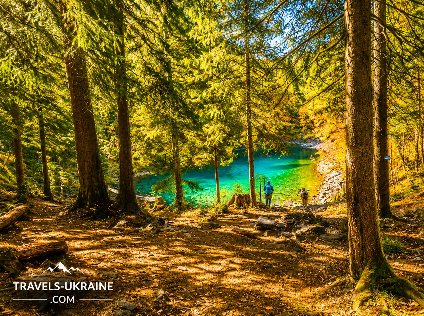
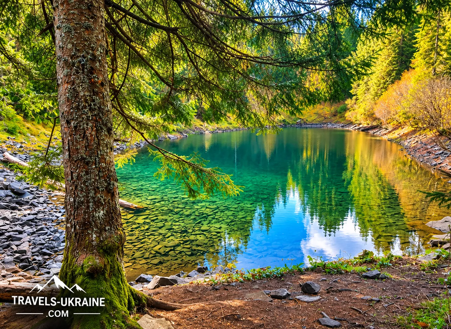
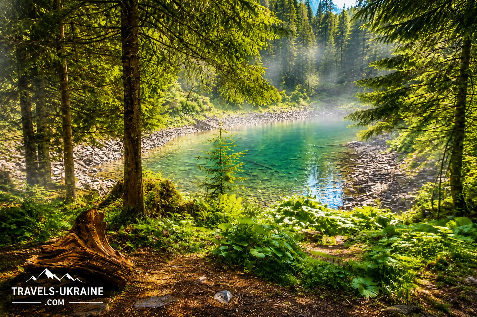
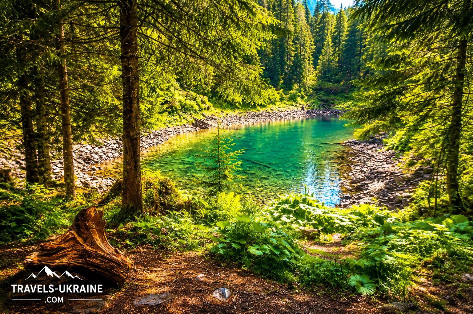
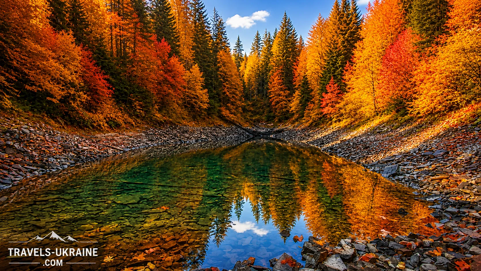
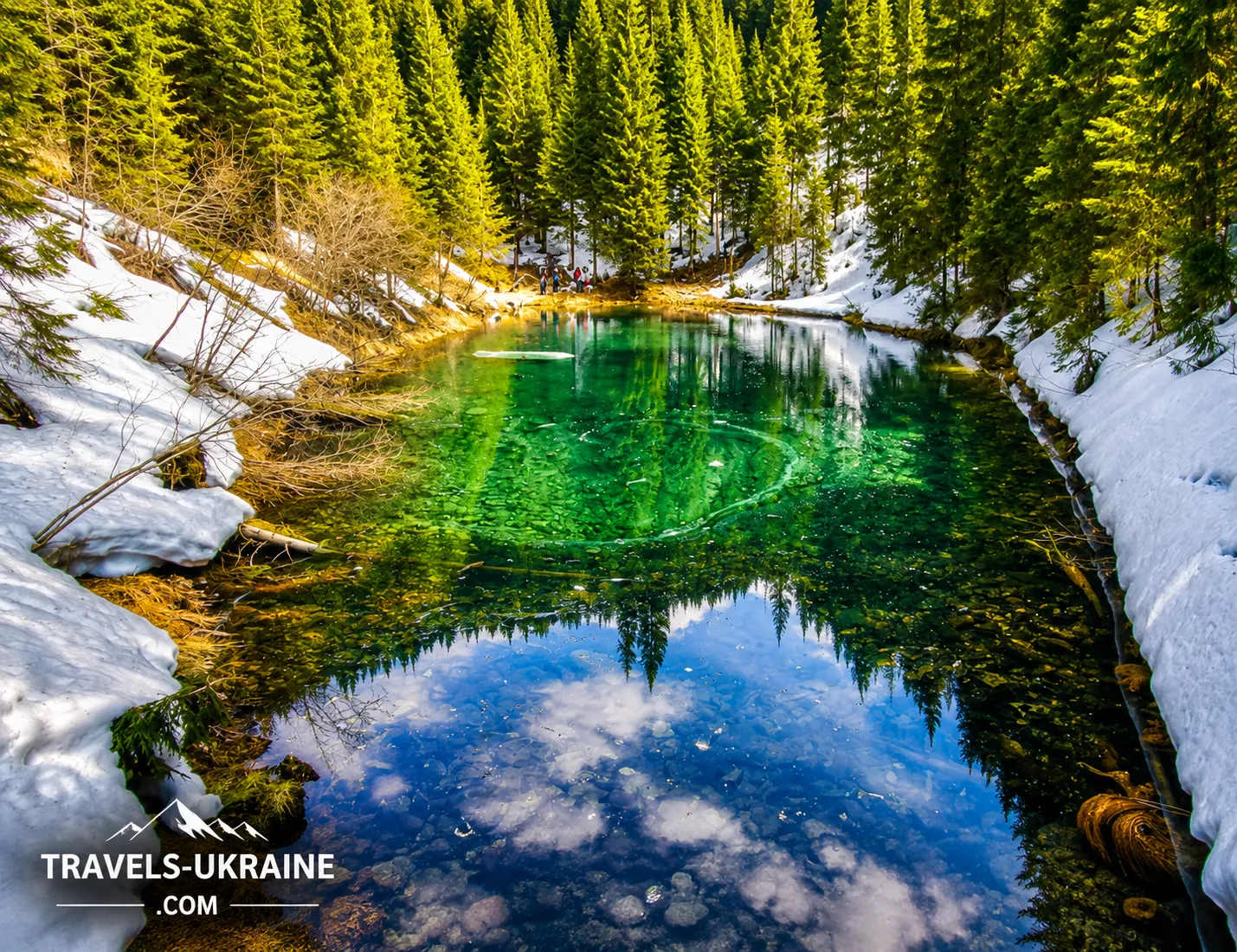
Lake Rosokhan does not impress with its vast size—its water surface covers only about 500 m². Yet this small body of water, hidden among the forests and rocky slopes of the Gorgany, holds far more mysteries than many better-known Carpathian lakes. It has no clearly defined permanent outflow, its depth varies noticeably depending on rainfall, and two entirely different versions of Rosokhan’s origin can still be found—from a landslide to a meteorite impact.
The lake lies at an elevation of approximately 1,120 meters on the slopes of the Arshytsia Ridge. It is so well hidden among spruce trees and rugged mountain terrain that stumbling upon it by chance is practically impossible. No road leads to the very shore, and there is no noisy promenade, restaurants, or souvenir stalls. To see Rosokhan, you need to deliberately set out on a hike and leave the usual tourist routes behind.
It is particularly fascinating to watch how the lake changes after prolonged rainfall. Under normal conditions, its maximum depth is approximately 2.8 meters, but after heavy rains the water level can rise substantially and the depth can reach about 4.5 meters. For such a small body of water, this is a very noticeable difference. At the same time, mountain Lake Rosokhan does not disappear in summer, as happens with some shallow high-altitude ponds.
Despite its modest size, Rosokhan has official protected status. In 1972, the area around the lake was declared a hydrological natural monument of local importance. The frequently mentioned 4.7 hectares refers not to the lake itself, but to the entire protected area. Rosokhan’s water surface is dozens of times smaller.
It is precisely this contrast that makes Lake Rosokhan in the Gorgany special. Before you is not a vast high-altitude expanse of water, but a small, quiet lake squeezed between forest and rocky slopes. Look closer, however, and an entire story emerges behind its tranquil surface: changing water levels, an enigmatic origin, a water regime rare for the Carpathians, long-standing protected status, and a route leading deeper into one of the wildest parts of the Ukrainian Carpathians.
On this journey, we will find out where Lake Rosokhan is located, how to reach it, how challenging the route is, when it is best to hike, what to see along the way, and what interesting places the Arshytsia Range conceals. We will also try to determine how Rosokhan actually formed and why this small body of water has held natural-monument status for more than half a century.
The Mystery of Lake Rosokhan’s Origin: Landslide or Meteorite?
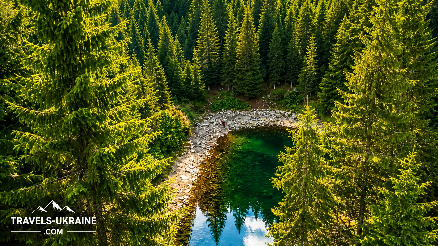
The origin of high-altitude Lake Rosokhan is one of the most fascinating topics associated with this Carpathian body of water. Unlike large glacial lakes, whose history can often be read fairly clearly from the shape of the terrain, Rosokhan leaves room for questions. Tourist and local-history accounts most often offer two versions of its formation: a natural basin created by a landslide and the much more mysterious hypothesis of a meteorite impact.
The Landslide Origin of Lake Rosokhan—The Most Likely Version
The origin of Rosokhan is most naturally explained by geological processes typical of mountainous terrain. On steep slopes, gravity, water saturation, rock breakdown, and the gradual movement of soil masses can create landslide and rockfall depressions. If such a depression retains rainwater and groundwater, a permanent body of water eventually forms.
Such a scenario appears entirely plausible in the Gorgany. The region has steep slopes, rocky scree, unstable surface deposits, and complex mountainous terrain. In the past, a sufficiently large shift in part of a slope could have altered the natural drainage and created an enclosed basin in which water began to accumulate.
Over time, the original traces of such a landslide may have changed considerably. The slopes became forested, rocks were covered with moss, and erosion gradually softened the sharp landforms. That is why today’s hiker sees not the site of an ancient collapse, but a small natural lake that appears to be an organic part of the Carpathian landscape.
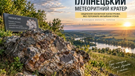
Could Lake Rosokhan Have Formed After a Meteorite Impact?
A different version sounds far more dramatic: supposedly, Lake Rosokhan formed in a meteorite crater. Its appeal is easy to understand. An isolated body of water among the mountains, an unusual basin shape, and the absence of an obvious large outflow create ideal conditions for a story of cosmic origin.
However, an attractive depression is not enough to identify it as an impact crater. A meteorite impact leaves distinctive geological traces: rocks altered by extremely high pressure, impact breccias, specific mineral deformations, and other structures that can be detected through specialized research. At present, there is no convincing published evidence of this kind for Rosokhan.
Therefore, it is more accurate to regard the meteorite version as an interesting local hypothesis and part of the lake’s tourist lore, rather than an established scientific fact. It adds mystery to Rosokhan, but should not displace the more realistic geological explanation.
Why the Origin of Rosokhan Remains a Mystery
For small natural bodies of water in remote mountainous areas, a separate detailed geological study capable of reconstructing the moment of their formation does not always exist. That is why Rosokhan’s descriptions may place a scientifically plausible explanation alongside a much more romantic legend.
And that is part of its appeal. Travelers do not necessarily have to choose between dry geology and a beautiful story. The landslide theory helps explain how mountainous terrain can create new bodies of water, while the meteorite theory reminds us how easily an unusual place gives rise to legends when its true history lies hidden in the rocks beneath the water and forest.
So today, the safest conclusion is this: Lake Rosokhan’s exact formation mechanism should not be attributed to a meteorite without geological evidence, and the most logical explanation remains the natural formation of a depression through mountain-slope processes. Yet until geologists put the final full stop to the story, Rosokhan will retain one of its most captivating mysteries.
Where Is Lake Rosokhan and How Can You Reach It?
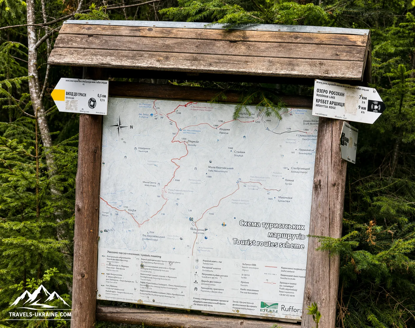
Lake Rosokhan is hidden in the Gorgany, northwest of the village of Osmoloda, on the slopes of the Arshytsia Range. Administratively, it lies in Kalush Raion of Ivano-Frankivsk Oblast, while the lake itself is located within the Mshana Forestry district. For most travelers, the most convenient starting point is Osmoloda—a mountain village from which many routes into this part of the Carpathians begin.
If you are traveling by car, the usual route to Osmoloda runs through Kalush—Rozhniativ—Perehinske—Osmoloda. The final section leads increasingly deep into the Carpathians, so average speeds are noticeably lower than on major highways. When planning, allow extra time and do not estimate the journey solely by the number of kilometers.
Osmoloda can also be reached by public transport. Buses run from Kalush to the village, but there are few services and the timetable may vary by day and season. Before traveling, check the current departure time separately—and, equally importantly, whether returning the same day is possible.
For travelers planning a hike to Lake Rosokhan without an overnight stay, transport logistics often prove more important than the difficulty of the trail itself. If the last bus leaves Osmoloda early, start the route first thing in the morning or plan to stay overnight in or near the village.
The Route from Osmoloda to Lake Rosokhan
The classic route to Lake Rosokhan from Osmoloda initially follows the Moloda River valley and then continues along the Mshana River. After the bridge in Osmoloda, follow the road toward the Mshana Forestry district. Much of the first half of the route follows forest and service roads without a steep ascent.
One important landmark is the Mshana Forestry area and the confluence of the Mshana and Moloda rivers. The route then continues up the Mshana valley toward the area known as Sklady. Here, hikers gradually leave the broad forest road and approach the actual ascent of the Arshytsia slope.
The final stretch to the body of water has an entirely different character. For approximately one and a half kilometers, you have to climb along a forest trail, and this is where the feeling of a true mountain route begins to emerge. After the long journey through the valley, the lake appears rather unexpectedly among the spruce trees—there is no expansive open panorama before it.
If you walk the entire route directly from Osmoloda, the classic option is about 13 km one way. If you get a lift along the forest roads, the walking section may be considerably shorter.
Can You Drive Closer to Lake Rosokhan?
Part of the road from Osmoloda toward the Mshana Forestry district follows forest tracks used by specialized and service vehicles. It is therefore possible to drive considerably closer to the start of the final trail. In that case, 2 to 5 kilometers of uphill walking remain to Lake Rosokhan.
However, you should not plan the route on the assumption that an ordinary passenger car will necessarily be able to reach the lake. The condition of the forest roads changes after rain, forestry operations, and floods, and some sections may have restricted access. What was accessible by car in one travel report may not remain so during your trip. The more reliable approach is to treat Osmoloda as the starting base and consider shortening the forest section by car only as an optional extra, after checking the current road conditions and access rules.
Trail Markings and Navigation to Rosokhan
The Osmoloda—Moloda—Mshana—Lake Rosokhan route is traditionally marked with black trail blazes. However, in the Carpathians you should not rely solely on colored markings: trees, vegetation, or new forest roads may obscure some markers, while forestry work can change the familiar appearance of certain sections.
Particular attention is needed at forest-road junctions. In the first part of the route, it is easy to continue along a good road simply because it looks like the «main» one, even though the required turnoff may be less conspicuous. That is why a GPS track or offline map is much more useful here than trying to navigate by direction alone.
For those who want to see more than just the lake, Rosokhan can form part of a much longer traverse across the Arshytsia Range. There are routes from the lake leading higher onto the range, and experienced hikers even cross Arshytsia between Osmoloda and Myslivka. For a first introduction to this part of the Gorgany, however, the route to Rosokhan and back along the same path is entirely sufficient.
And this is one of the journey’s defining features: Lake Rosokhan is not next to a car park or a popular scenic road. To see it, you must spend time traveling through a valley, forest, and mountain slope. This remoteness is precisely what has preserved much of the atmosphere that makes the journey worthwhile.
Hiking to Lake Rosokhan: Route Difficulty and Preparation
The hike to Rosokhan is not a technically difficult mountain route requiring specialized equipment or climbing skills. Its main challenge is different: the length of the trek. If you start directly from Osmoloda, you will have to cover a considerable distance in a day, so even relatively easy terrain gradually builds up fatigue.
Most of the route runs through valleys and forest roads without any sustained steep climbs. This can sometimes create the misleading impression that it is an easy walk. Its true mountain character emerges closer to Rosokhan, where the trail leaves the valley and begins to gain elevation more steeply along the slopes of Arshytsia. Approximately two kilometres of the ascent and subsequent descent pass through much steeper terrain than most of the route. This is where trekking poles are especially useful, while after rain, footwear with good tread becomes essential.
For a beginner, Rosokhan can be a good introduction to longer hikes in the Gorgany, provided they do not overestimate their abilities. If someone is used only to short walks of a few kilometres, it is better not to set out late in the morning or plan several other distant mountain attractions for the same day.
How much time to allow for a hike to Rosokhan
If you walk the entire out-and-back route from Osmoloda, you should allow practically a full day of daylight. The actual time depends on the group’s pace, the condition of the road, the weather, the length of breaks, and how much time you want to spend by the lake itself.
You should not plan the hike so that the return falls during twilight. It gets dark faster in the forest than on an open ridge, and finding the right road in poor visibility is considerably more difficult. It is best to start early and leave extra time for taking photographs, resting, and dealing with unexpected delays.
What to take on a day hike to Lake Rosokhan
You do not need a large expedition pack for this route. It is much more important to avoid carrying unnecessary items while still having the things you may genuinely need during a long day in the mountains.
- drinking water in a sufficient quantity for a long trek;
- food and a high-energy snack for the whole day;
- a raincoat or a lightweight waterproof jacket;
- a warm layer of clothing, even in summer;
- trekking poles — especially useful on the final ascent and descent;
- a charged phone and power bank;
- an offline map or GPS track of the route;
- a small first-aid kit with plasters, dressings, and personal medication;
- a torch in case of a delay on the route.
Why navigation in the Gorgany matters more than you might think
For much of the journey, hikers travel not across open mountain meadows but through forest. It is much harder to determine direction from the terrain here, and numerous forest and service roads can look equally convincing. That is why, even when tourist markings are present, an offline map or downloaded GPS track should be part of your basic preparation.
You should not rely on continuous mobile internet either. In the mountains, the signal may disappear precisely where you need to check a junction in the route. A map downloaded in advance solves this problem before it arises.
A day hike or an overnight stay by Lake Rosokhan
Rosokhan can be visited in a single day, returning by the same road. This is a good option for those who want to see the lake but are not planning a multi-day hike. At the same time, the route can become a much more relaxed journey if you plan an overnight stay instead of trying to cover the entire distance at one pace.
The second option is particularly appealing to those who want to experience the Gorgany without rushing. Once day hikers set off back, only the forest, water, and mountain silence remain around Rosokhan. However, spending the night in the wild requires a different level of preparation — a tent, sleeping bag, food supplies, and careful planning around water and weather — so this format is best considered separately in more detail.
The main feature of the hike to Lake Rosokhan is that it does not require advanced technical skills, but it does demand respect for the distance. If you set out early, choose suitable footwear, carry enough water, and do not depend on mobile internet, the route becomes a perfectly manageable day-long adventure. The long journey only heightens the moment when the dark, still waters of Rosokhan finally appear between the spruce trees.
What to see near Lake Rosokhan and Osmoloda
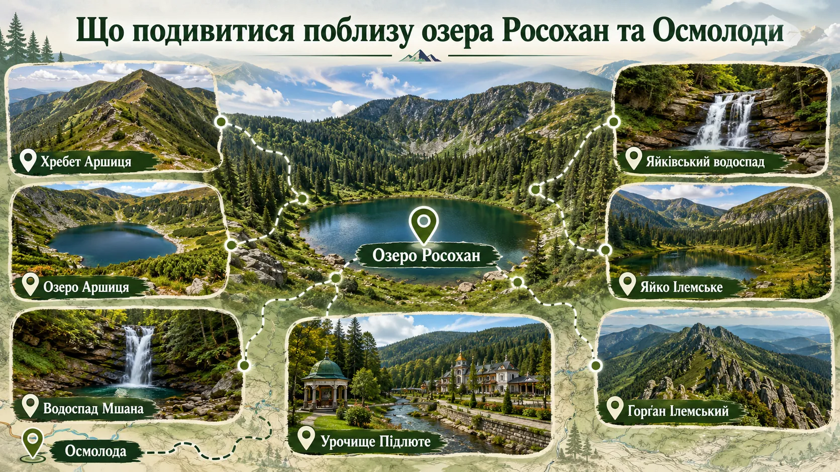
The high-mountain Lake Rosokhan can easily be made the main goal of a day hike, but this part of the Gorgany offers many more opportunities for those with extra time. Osmoloda is effectively located at the entrance to one of the most fascinating mountain areas in Ivano-Frankivsk Oblast: routes to Arshytsia, Yaiko Ilemske, Gorgan Ilemskyi, mountain waterfalls, and historic tracts all begin here.
At the same time, you should not try to combine all these places with Rosokhan in a single day. Some attractions lie directly on or close to the route, while the peaks require a considerably longer trek. It is therefore best to view them as options for extending your trip, depending on your available time, fitness level, and preferred hiking format.
The Arshytsia Ridge and Lake
The Arshytsia Ridge is a natural continuation of your introduction to Rosokhan. The lake is hidden on its slopes, while higher up begins an entirely different world of the Gorgany: rock fields, dense dwarf pine, old spruce forests, and long stretches without human settlements. The ridge extends between Osmoloda and Myslivka and is among the less crowded areas of the Carpathians.
If you still have enough energy and daylight after Rosokhan, you can continue climbing higher onto Arshytsia. This option lets you see the lake in the context of the entire mountain massif, rather than merely as an isolated body of water in the forest.
Another interesting point on the ridge is Lake Arshytsia, located higher than Rosokhan. It has a completely different character: darker in appearance, with an earthy, muddy bottom. If Rosokhan impresses with its rocky basin and clear water, Arshytsia shows how different two small mountain lakes on the same ridge can be.
Mshana and Yaikivskyi Waterfalls — natural stops along the route
Waterfall enthusiasts should take note of Mshana Waterfall and Yaikivskyi Waterfall. Both are located in the area of the hiking routes leading from Osmoloda towards Rosokhan and Arshytsia, so they can be included in a longer hike without travelling to an entirely different part of the Carpathians.
These are not large tourist waterfalls with car parks and souvenir stalls. Their appeal lies precisely in their natural surroundings: a mountain stream, rocks, forest, and an almost complete absence of urban infrastructure. After heavy rainfall, the waterfalls become more impressive, but the trails and approaches may also be considerably wetter and more slippery.
If Rosokhan remains the main goal of the day, it is better to treat the waterfalls as additional points along the route rather than as a reason to make a significant detour from the main trail.
Yaiko Ilemske — one of the most distinctive peaks of the Western Gorgany
For those who feel that one lake is not enough and want a genuine mountain ascent, one of the most interesting destinations is Yaiko Ilemske, standing 1680 metres high. The summit has a distinctive rounded shape, which gave it its name, and the open sections offer panoramas of Arshytsia, Moloda, Grofa, and other Gorgany ranges.
However, Yaiko Ilemske is no longer a short addition to a walk by the lake. It is better included in a separate one-day or multi-day route. Combining Rosokhan, Arshytsia, and Yaiko Ilemske is particularly suitable for hikers who want not merely to see a single natural attraction but to spend several days in the Western Gorgany.
Gorgan Ilemskyi — the highest peak of the Arshytsia Ridge
Gorgan Ilemskyi, at 1587 metres, is the highest point of the Arshytsia Ridge. Its upper section clearly demonstrates the characteristic landscape of the Gorgany — rock fields, crooked woodland, and rugged high-mountain terrain that differs sharply from the gentle grassy mountain meadows found in other parts of the Carpathians.
The route to the summit is considerably more demanding than an ordinary hike to Rosokhan. It is best to regard Gorgan Ilemskyi as part of a separate journey along Arshytsia or a multi-day crossing between Osmoloda and Myslivka. In this way, Rosokhan can become not the final destination but the beginning of an introduction to an entire mountain ridge.
Pidliute Tract — Carpathian history near Osmoloda
If, after several days of mountain trekking, you want to change the pace of your trip, the Pidliute tract near Osmoloda is worth visiting. This place is interesting not so much for its elevation or route difficulty as for its history.
Pidliute is known for its natural mineral springs and former metropolitan residence, connected with the history of the Ukrainian Greek Catholic Church. At the beginning of the 20th century, it was home to a retreat known as the «Cedar Chambers,» and later Pidliute became one of Metropolitan Andrei Sheptytskyi’s places of rest.
This location is a good complement to a nature-based route. After wild forests, the rocky Arshytsia Ridge, and mountain lakes, you can see an entirely different side of Osmoloda — the history of people who, more than a century ago, chose this remote corner of the Carpathians for rest and recuperation.
How to combine Rosokhan with other places in the Gorgany
For a first trip, it is best not to overload the route. If you have only one day, make Lake Rosokhan your main destination and look out for the waterfalls and the surrounding Mshana valley along the way. With a good pace, you may be able to add a short climb higher onto Arshytsia.
A two- or three-day hike offers far more possibilities: Rosokhan can be combined with Lake Arshytsia, a section of the ridge, Gorgan Ilemskyi, or Yaiko Ilemske. And if you would like to diversify the mountain experience with a historic site, it is worth setting aside separate time for Pidliute.
It is this concentration of diverse destinations that makes Osmoloda a convenient base for exploring the Western Gorgany. In just a few days, you can see a mountain lake and waterfalls, cross a rocky ridge, climb a summit, and finish your trip at a place with a history completely unlike that of an ordinary Carpathian postcard.
Frequently asked questions about Lake Rosokhan
Where is Lake Rosokhan located?
Lake Rosokhan is located in the Gorgany, on the slopes of the Arshytsia Ridge, near Osmoloda in Ivano-Frankivsk Oblast. The lake lies at approximately 1120 metres above sea level and is hidden among dense spruce forest. The most common hiking route to the lake begins in Osmoloda.
How long does it take to reach Lake Rosokhan from Osmoloda?
The classic route from Osmoloda to Lake Rosokhan is about 13 km one way. Much of the road runs through valleys and forest paths, while the most noticeable elevation gain begins closer to the lake. If you hike from Osmoloda and return the same day, you should allow for a full-day hike.
How difficult is the hike to Lake Rosokhan?
The route does not require mountaineering equipment or technical skills, but because of its considerable total distance, it should not be considered a short walk. Most of the trail is relatively gentle, while the final ascent onto the slopes of Arshytsia is steeper. For hikers in normal physical condition, the route is entirely manageable.
Can you drive directly to Lake Rosokhan?
There is no regular road directly to the shore of Lake Rosokhan. Part of the route toward the Mshanskyi Forestry is covered by forest and service roads, but their condition and accessibility vary. It is more reliable to plan Osmoloda as the main starting point and expect to travel on foot.
Can you swim in Lake Rosokhan?
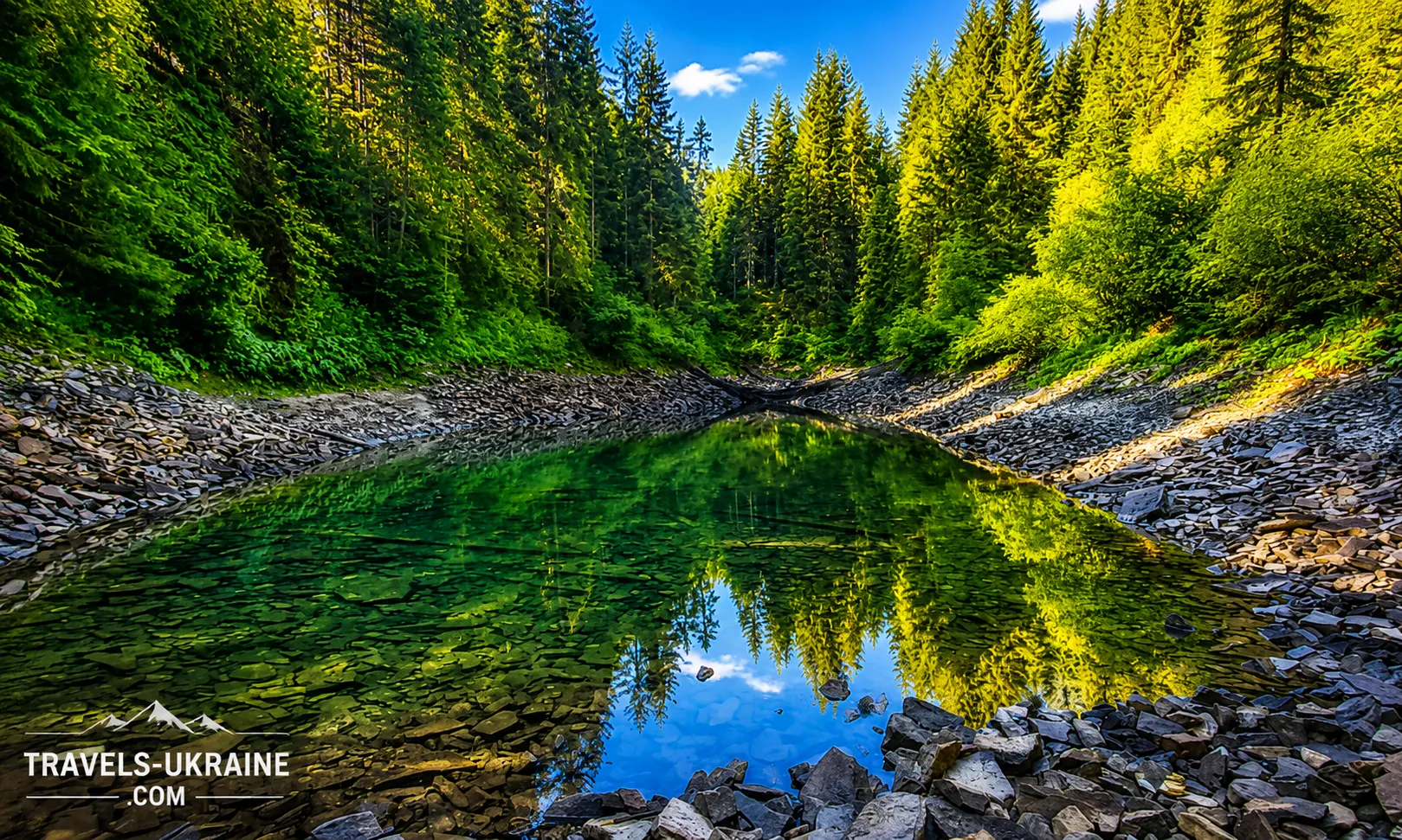
Strictly speaking, Rosokhan is not a designated swimming area. The water remains very cold even in summer, while the bottom is rocky, with slippery boulders and submerged trees. Therefore, entering the water requires caution, with no jumping or diving. The lake is much better suited to sightseeing, photography, and relaxing by the shore.
Can you camp overnight near Lake Rosokhan?
There are several small camping spots in the Rosokhan area, but this is a wild natural area without camping infrastructure. For an overnight stay, you need to bring your own tent, sleeping bag, food supplies, and enough water. Do not pitch your tent directly on the shore or damage the vegetation around the lake.
Is it true that Lake Rosokhan was formed after a meteorite impact?
The meteorite-origin theory is one of the best-known explanations for Rosokhan, but no convincing geological evidence of a meteorite impact has been found here. A much more realistic explanation is that the lake basin was formed by a landslide or other slope processes. The meteorite theory is best regarded as an intriguing local hypothesis rather than an established fact.
When is the best time to visit Lake Rosokhan?
The most convenient period for a hike is from late spring to early autumn, when there is no persistent snow cover and there are enough daylight hours. After heavy rain, the road and final ascent can be slippery, so first-time visitors should ideally choose several consecutive dry days. The surrounding forests are especially beautiful in autumn, but the days become significantly shorter.
Is Lake Rosokhan Worth Visiting?
Lake Rosokhan in the Carpathians is not a place people visit for a quick roadside photo. To see it, you have to travel a long way through valleys, forest roads, and slopes. Yet this very remoteness is what makes Rosokhan special: there is no urban noise, tourist pavilions, or crowds along the shore—only forest, rocks, cold water, and the silence of the Gorgany.
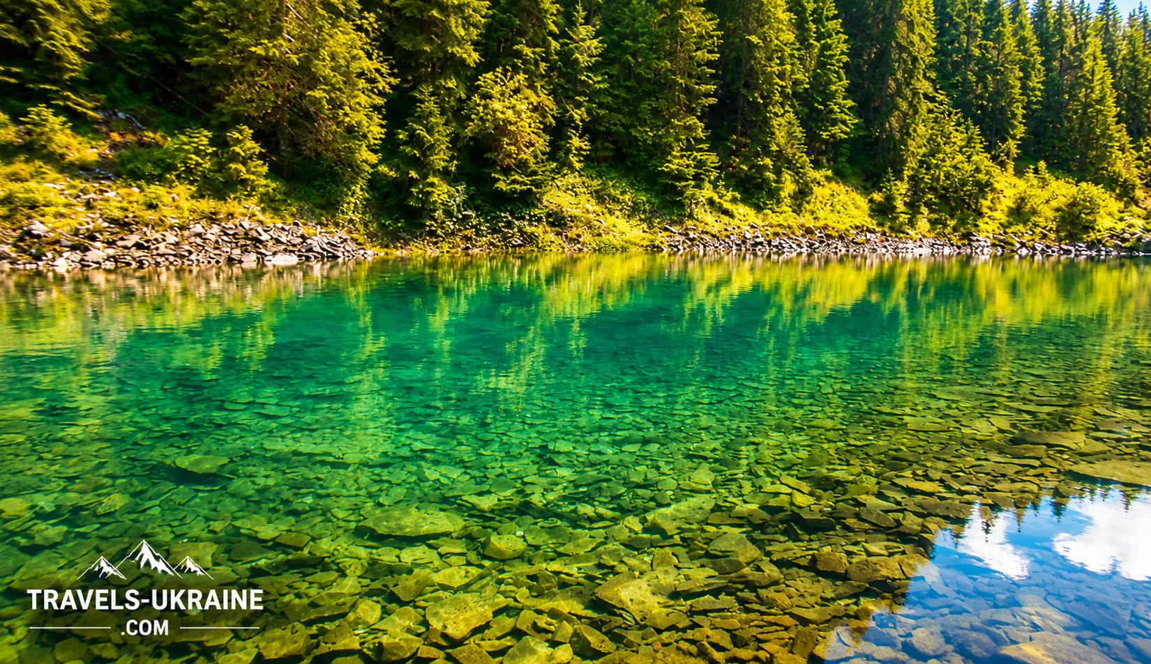
The lake’s small size may surprise those expecting to see a vast high-mountain expanse of water. But Rosokhan’s value has nothing to do with scale. Its appeal lies in the details: clear water, a rocky basin, dense spruce forests around it, its unusual setting, and an origin story in which a geological explanation exists alongside a romantic meteorite theory.
An eco-friendly getaway by Lake Rosokhan is best suited to those who enjoy the journey itself no less than the destination. Much of the experience begins along the way: the Mshana Valley, old forest roads, waterfalls, the ascent along the slopes of Arshytsia, and the gradual feeling that civilization is being left farther and farther behind.
This Carpathian lake can also be just the beginning of an introduction to the Western Gorgany. From Osmoloda, routes lead to Arshytsia, Yayko Ilemske, Gorgan Ilemskyi, and other little-known natural sites. That is why it is worth returning here more than once, changing the route, season, and format of your outdoor adventure.
If you are looking for a place in the Carpathians without excessive tourist gloss, where the journey to the destination is part of the adventure itself, Lake Rosokhan amid the wild Gorgany unquestionably deserves your attention. It does not try to impress with its size; instead, it leaves that rare feeling many people set out into the mountains to find: as if, for a few hours, you had discovered a corner of the Carpathians that still lives by its own rules.

No Comment
You can post first response comment.