
 English
 Українська
 Русский
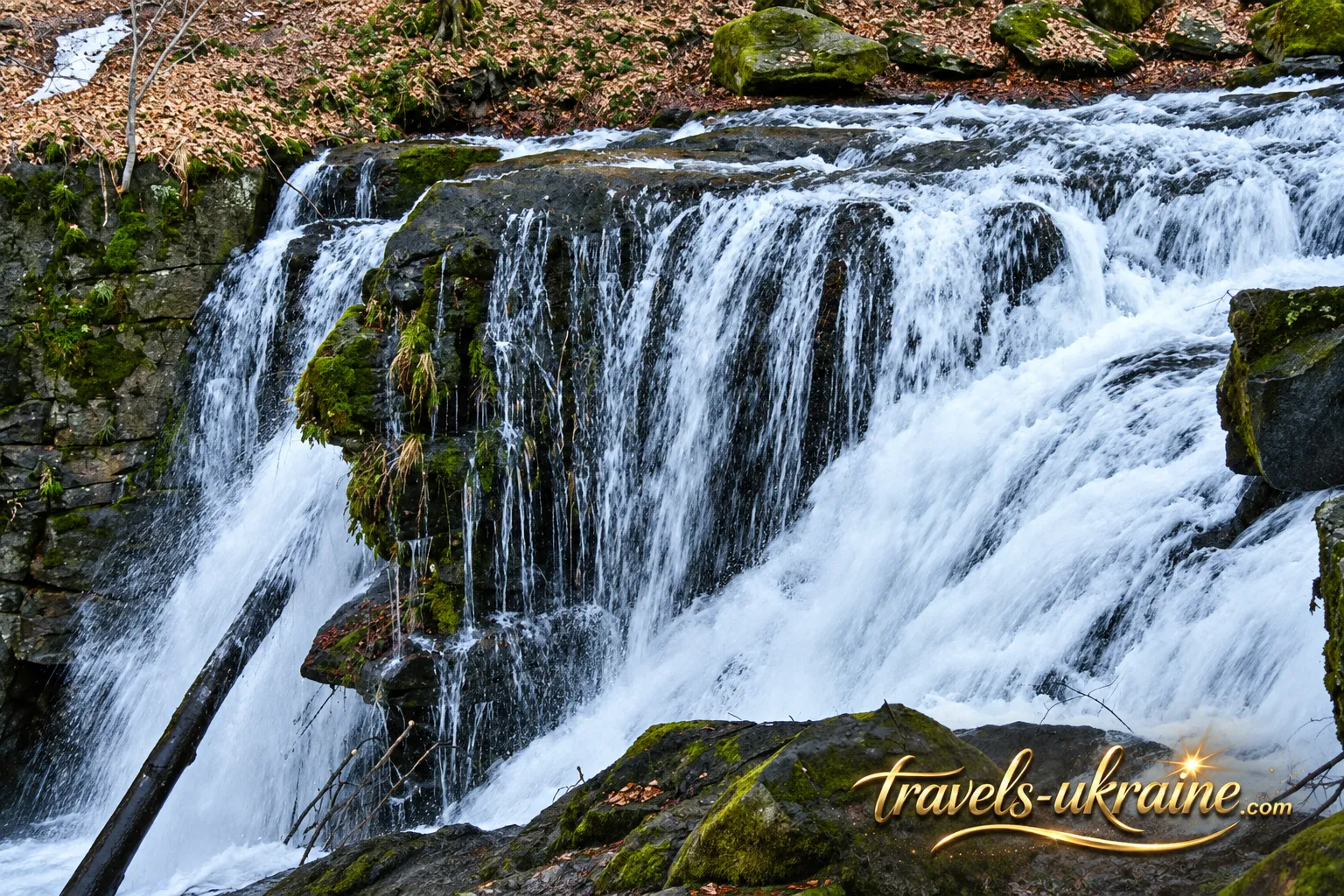
Deep in the Carpathian forests, not far from Turia Poliana in Zakarpattia, the Voievodyn mountain stream flows through a rocky gorge, forming one of the most atmospheric waterfalls in this part of Ukraine. There is no large parking lot beside the cascades, no rows of souvenir stalls, and no opportunity to step out of a car directly in front of the falling water. To reach Voievodyn Waterfall, you have to walk — and that is precisely why the experience begins long before you hear the sound of rushing water through the trees.
The route passes through forests near Polonyna Runa, within the protected natural area known as Sokolovi Skeli (Falcon Rocks). Along the way, the scenery changes between mountain streams, beech-covered slopes, rocky sections, and peaceful forest valleys. The farther you leave the village and roads behind, the stronger the feeling of remoteness from familiar hiking routes becomes.
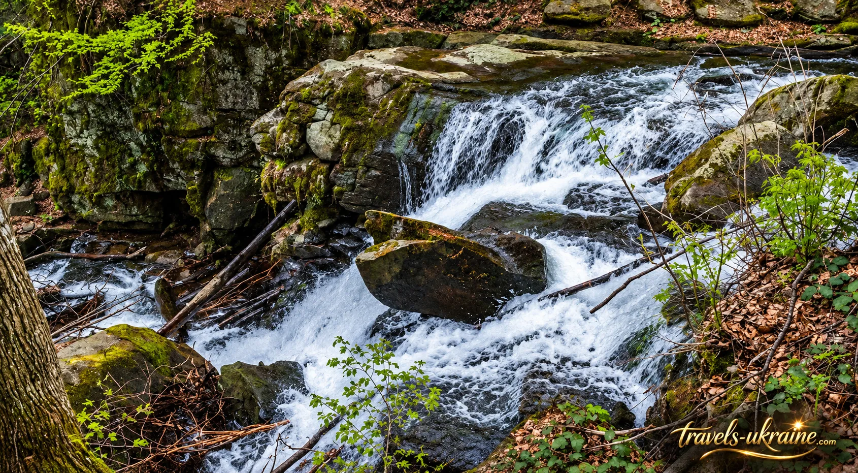
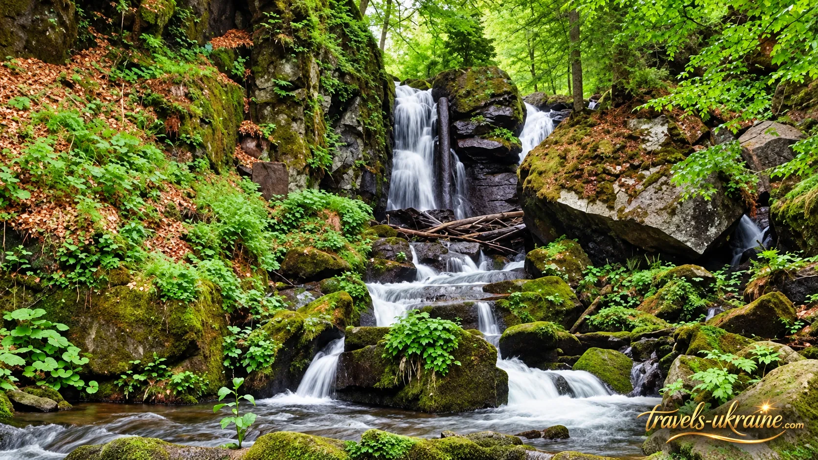
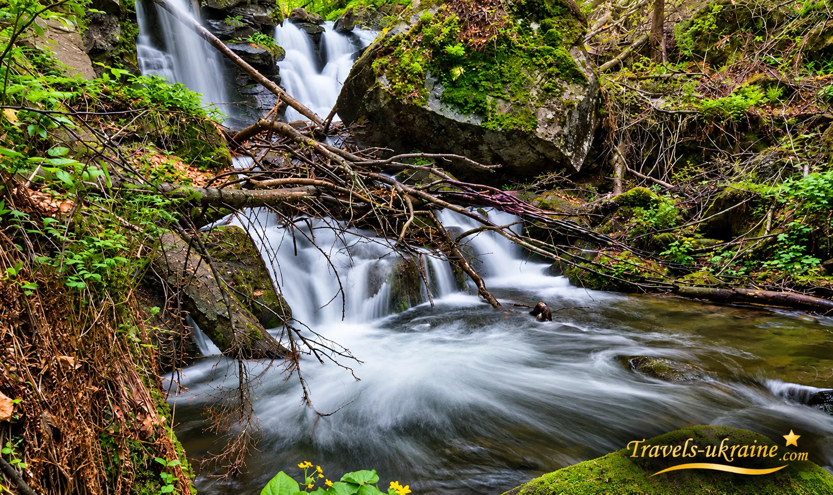
Voievodyn itself is not a single vertical waterfall but a series of natural cascades descending between rocks covered with moss and forest vegetation. Its appearance constantly changes with the weather. After rainfall and during the spring snowmelt, the water becomes considerably more powerful, while in dry periods the waterfall looks calmer, revealing more details of its rocky streambed.
However, the main reason to come here is not just the waterfall itself. Hiking to Voievodyn offers something increasingly rare near popular natural attractions: several hours of walking through genuine Carpathian forest, the tranquility of a protected nature reserve, and the feeling that a beautiful destination is not simply something you find on a map — it is something you earn through the journey.
Voievodyn Waterfall: Cascades, Gorge, and the Origin of Its Name
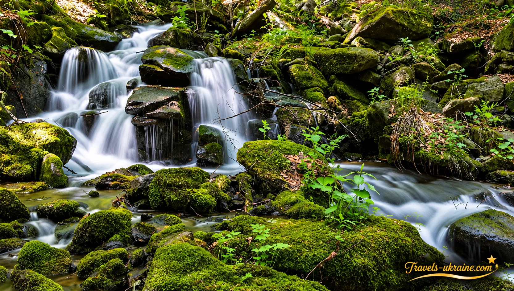
Voievodyn Waterfall differs from many popular Carpathian waterfalls primarily in its character. Rather than one tall vertical drop, it consists of a system of natural cascades in a narrow forest gorge. Water flows between rocky ledges, splits into separate streams, and continually changes its appearance depending on water levels, the season, and rainfall.
How High Is Voievodyn Waterfall?
Two different figures frequently appear in descriptions of the waterfall, which may seem contradictory. In fact, they refer to different parts of the formation. The total height of Voievodyn's cascades reaches approximately 24 meters, while its main cascade is about 5–6 meters high. Therefore, it is more accurate to describe Voievodyn as a cascading waterfall system rather than a single 24-meter vertical drop.
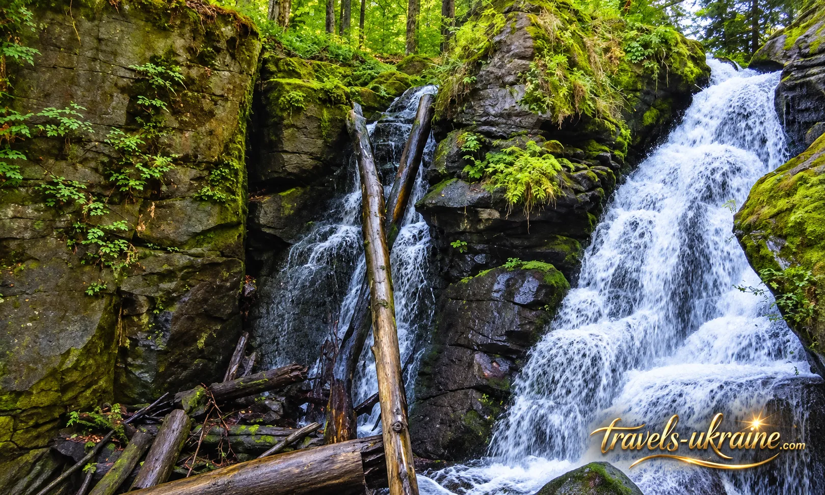
In the past, water in one section of the gorge reportedly descended in two separate streams, but one of them has become partially blocked by fallen timber and rocks. As a result, Voievodyn's present-day appearance may differ from older photographs and descriptions.
The Mountain Gorge and Voievodyn Stream
Voievodyn Stream originates on the slopes of Polonyna Runa, flows through a deep gorge, and eventually joins the Shypit River. The narrow, rocky channel gives the waterfall its distinctive character: the water must pass over natural changes in elevation, rock ledges, and constricted sections of the streambed.
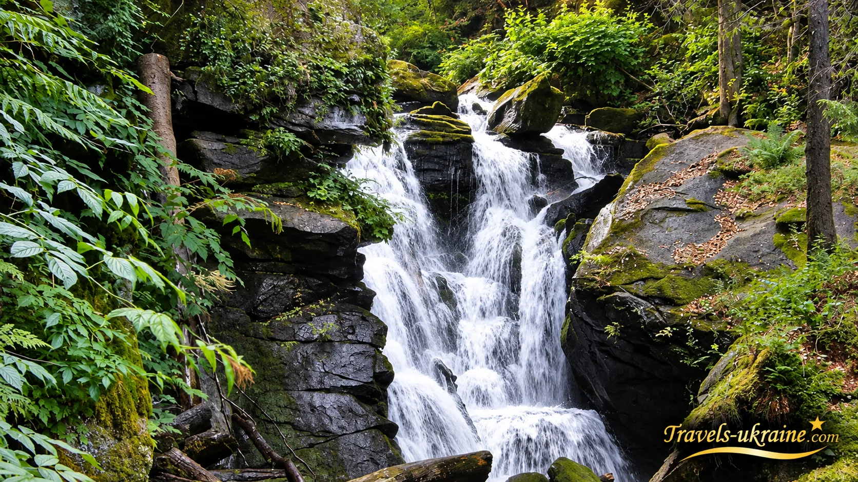
The surrounding forest extends almost to the water's edge. Moss covers the rocks, while fallen trees and large boulders are often scattered throughout the streambed. This gives Voievodyn the appearance of an authentic Carpathian landscape rather than a landscaped tourist attraction — one that continues to change under the influence of flowing water, frost, and the forest environment.
How Was Voievodyn Waterfall Formed?
One of the most widespread explanations attributes the formation of the waterfall to an ancient earthquake. According to this hypothesis, a powerful seismic event created a fracture or rocky step across the narrow mountain valley. Water then began flowing over the newly formed ledge, gradually shaping the cascading system visible today.
This explanation appears in local historical accounts and official tourism resources, although the exact date of the supposed geological event has not been established. It is therefore more appropriate to regard it as a commonly cited geological hypothesis rather than a precisely dated historical fact.
Where Does the Name "Voievodyn" Come From?
The name of the waterfall sounds as though it might be connected with military commanders or armies, but one of the most common local explanations is much simpler. The name is associated with the howling or roaring sound of the water as it rushes between the rocky walls of the gorge. This interpretation feels especially fitting after heavy rain or in spring, when the stream becomes more powerful. Inside the narrow gorge, the sound of falling water is amplified by the surrounding rocks and forest, meaning that visitors can often hear Voievodyn before they see it.
The combination of cascading water, a narrow gorge, dense forest, and distance from roads makes Voievodyn Waterfall in Zakarpattia particularly special. The overall natural setting, rather than any single measurement of height, creates the most lasting impression.
Hiking to Voievodyn Waterfall: How to Get There, Trail Difficulty, and Best Time to Visit
There is no short paved road leading to Voievodyn Waterfall, so a visit should be planned as a proper hiking trip. The most popular route begins in Turia Poliana and leads deep into the forest toward the gorge of Voievodyn Stream. The journey itself makes this destination special: hikers gradually leave the village, vehicles, and civilization behind, entering an entirely different Carpathian environment. The route to Voievodyn does not require specialized mountaineering equipment, but it would be misleading to describe it as a casual stroll. The distance, elevation gain, and forest terrain make it a moderately challenging full-day hiking experience. It is manageable for someone with average physical fitness, provided they maintain a comfortable pace and plan their time carefully.
The greatest difficulties usually arise after rainfall: unpaved roads and rocks become slippery, while small streams may carry considerably more water. Hiking shoes or trekking boots with good grip are therefore much more suitable than ordinary urban sneakers. It is best to allow at least half a day for the hike, including time to explore the waterfall and take breaks. If you prefer a relaxed pace, photography stops, and time resting near the stream, the hike can easily occupy most of the day.
How to Reach Voievodyn Waterfall from Turia Poliana
The hike from Turia Poliana to the waterfall is approximately 7 km one way. According to the recorded hiking route, the total elevation gain is about 472 meters: the trail starts at approximately 430 meters above sea level and gradually climbs to nearly 880 meters. Returning along the same route brings the total hiking distance to approximately 14 km.
The first sections follow forest and service roads, while the route gradually becomes more mountainous. Streams, rocky stretches, and damp areas appear along the way. Near Voievodyn itself, the trail enters a narrower, more shaded section of forest, where the sound of rushing water becomes a useful landmark long before the waterfall comes into view.
One important detail is that the route from Turia Poliana is officially described as unmarked or only partially marked. Hikers should not expect continuous signs, information boards, or other tourist navigation facilities. It is therefore advisable to download a GPX track or offline map before setting out and avoid relying solely on mobile network coverage.
When Is Voievodyn Waterfall at Its Most Beautiful?
Voievodyn Waterfall looks most impressive when water levels are high. In spring, after snowmelt, and following prolonged rainfall, the stream becomes more powerful, and the cascades fill a greater part of the rocky channel. This is when the possible origin of its name becomes particularly easy to appreciate, as the roar of water inside the gorge grows much louder.
In summer, hiking conditions are generally more comfortable, but after an extended dry period, the waterfall may carry less water. Autumn, on the other hand, gives Voievodyn an entirely different atmosphere: the beech forest surrounding the gorge changes color, and the trail is usually less crowded.
A winter hike is also possible, but it presents a different level of difficulty. Snow, ice, and shorter daylight hours can significantly change trail conditions, so visitors without appropriate experience should choose a warmer season. Regardless of the time of year, the main rule is simple: a hike to Voievodyn should always be planned around the weather, sufficient time for the return journey, and reliable navigation. With proper preparation, the journey to the waterfall becomes one of the most rewarding parts of the experience.
Sokolovi Skeli Nature Reserve and the Wildlife Around Voievodyn Waterfall
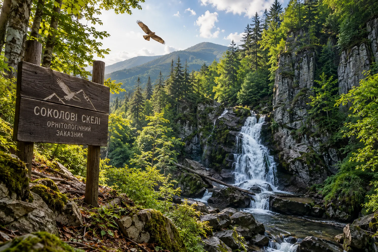
Voievodyn Waterfall is located not simply in the Carpathian forest but within the Sokolovi Skeli (Falcon Rocks) Ornithological Reserve. This makes the journey to the waterfall just as fascinating as the destination itself: the route passes through protected forest areas, deep gorges, mountain streams, and the southern slopes of Polonyna Runa. Sokolovi Skeli was established primarily to protect forest ecosystems and the nesting habitats of rare birds. The surrounding beech and coniferous forests provide habitat for birds of prey listed in the Red Data Book of Ukraine, including golden eagles, peregrine falcons, Eurasian eagle-owls, and other rare species. High cliffs, distance from large settlements, and dense forests provide the natural environment these birds need — habitats that are becoming increasingly scarce near popular tourist routes.
For travelers, this means one simple thing: Voievodyn should be appreciated not merely as a waterfall to photograph but as part of a complete natural ecosystem. Silence is just as important here as the waterfall itself, and encounters with wildlife depend greatly on how carefully visitors behave.
Forests, Cliffs, and Mountain Streams
The surrounding landscape consists of forested slopes, rocky gorges, and numerous streams descending from Polonyna Runa. In shaded areas, cliffs and large boulders are covered with moss, while the air near the streams remains cooler and more humid. As a result, the route to Voievodyn feels nothing like a hike across an open alpine meadow; instead, it takes visitors deep into the heart of the Carpathian forest.
Even in summer, the local microclimate can change noticeably within a short distance. An exposed road may be hot and sunny, while the gorge and stream remain cool and damp. After rainfall, small cascades and tributaries become more active, but the water also makes rocks and unpaved sections of the trail slippery.
How to Behave in the Nature Reserve
Visitors do not need to follow complicated rules — the most important principle is to leave no trace. Avoid straying from established paths into difficult rocky areas, disturbing birds, damaging plants, or leaving litter behind. Loud noise is particularly undesirable near cliffs and forest areas where birds of prey may be nesting.
This is one of the greatest attractions of Voievodyn and Sokolovi Skeli: the area has retained its sense of untouched wilderness. By helping preserve it, future travelers will be able to enjoy not only the beautiful cascades but also the same peaceful Carpathian forest that makes walking several kilometers to this remarkable destination worthwhile.
What to See Near Voievodyn Waterfall
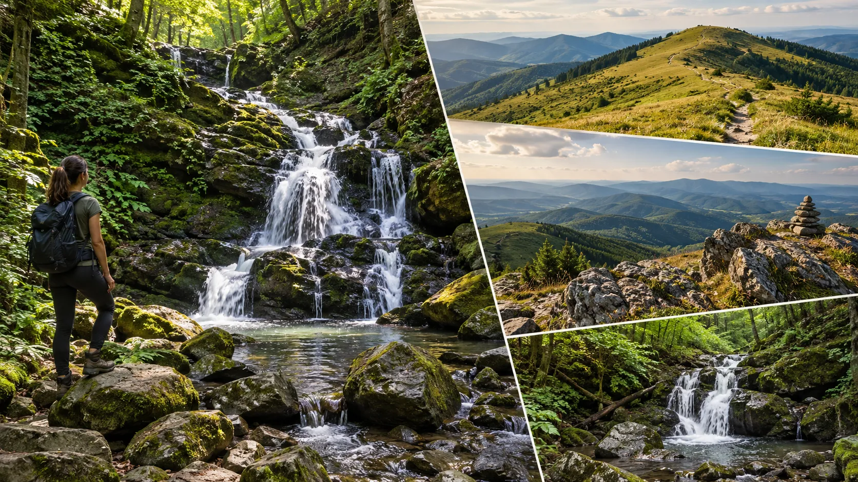
A hiking trip to Voievodyn Waterfall can easily become part of a broader exploration of this region of Zakarpattia. The most interesting nearby destinations lie within the same mountain massif and are naturally connected to the route: Polonyna Runa, the Runa-Plai summit, and Lumshory with its series of waterfalls. For a shorter trip, it is better to choose just one of these destinations, while experienced hikers can combine several locations into a longer trek.
Polonyna Runa — Sweeping Mountain Panoramas Beyond the Forest Gorge
Polonyna Runa, also known as Polonyna Rivna, offers a striking contrast to Voievodyn. While the trail near the waterfall passes mainly through shaded forest, higher up it opens onto a vast mountain plateau with panoramic views of the surrounding ridges. The highest point of the massif is Mount Rivna, standing at approximately 1,482 meters above sea level.
A long-distance hiking route also crosses Polonyna Runa, following the itinerary Turia Poliana — Voievodyn — Polonyna Runa — Lumshory. It covers approximately 32.8 km with an elevation gain exceeding 2,000 meters. This is therefore not simply an extension of a casual walk to the waterfall but a demanding hiking expedition requiring appropriate preparation and reliable navigation.
Runa-Plai — A Mountain Summit Above Sokolovi Skeli
In the southeastern part of Polonyna Runa rises Runa-Plai, a summit approximately 1,227 meters high. Like Voievodyn, the mountain lies within the Sokolovi Skeli Nature Reserve, making it an excellent addition for hikers who want to experience not only the forest gorge but also open mountain scenery. A hike to the summit is best planned separately or as part of a longer trek. Weather conditions on the exposed mountain plateau can change quickly: fog, strong winds, or thunderstorms may significantly affect hiking conditions even during the warmer months.
Lumshory and Its Series of Mountain Waterfalls
On the opposite side of Polonyna Runa lies the village of Lumshory, known for its waterfalls along the Turychka River and its long-standing tradition of bathing in heated outdoor tubs. Approximately 3.5 km from the village, visitors can discover a series of small cascades, the best known of which include Solovei, Burkach, Davir, Perestupen, and Krutylo.
Lumshory can be visited separately by car or used as the finishing point of a long hike through Voievodyn and Polonyna Runa. The latter option is particularly appealing to experienced hikers but requires a full day or even longer, good physical fitness, and a downloaded route, as some trails in the area are not fully marked. Thus, Voievodyn can be either the main destination of a day hike or part of a much longer journey across Polonyna Runa. The important thing is not to try to visit every attraction in a single day. In this part of the Carpathians, it is far more enjoyable to choose fewer destinations and allow enough time to appreciate the journey itself.
Frequently Asked Questions About Voievodyn Waterfall
How do you get to Voievodyn Waterfall?
One of the most popular hiking routes begins near Turia Poliana and follows forest and mountain roads toward Voievodyn Stream. The waterfall cannot be reached directly by car, so the main part of the journey must be completed on foot.
How far is the hike to Voievodyn Waterfall?
A popular GPX route from the Turia Poliana area is approximately 7 km one way. The full round trip to the waterfall and back is around 14.3 km. The actual distance depends on the exact starting point.
How difficult is the hike to Voievodyn?
The route can be classified as moderately difficult. It involves elevation gain, unpaved roads, and rocky sections, while conditions can become slippery after rainfall. Specialized mountaineering equipment is not required, but basic physical fitness and comfortable trekking shoes are recommended.
Is the trail to Voievodyn Waterfall marked?
The route is not fully marked, and trail markings may be present only on certain sections. Therefore, it is advisable to download a GPX track or offline map before the hike rather than relying entirely on signs or mobile network coverage.
When is the best time to visit Voievodyn Waterfall?
Voievodyn usually carries the most water in spring after snowmelt and following prolonged rainfall. Summer offers more comfortable hiking conditions, although the waterfall may be less powerful during dry periods. In autumn, the route becomes particularly beautiful thanks to the colorful beech forests.
Can you hike to Voievodyn with children?
The hike is possible with older children who are accustomed to walking longer distances. For younger children, parents should consider the considerable distance, elevation gain, and lack of comprehensive trail markings. After rainfall, some sections may become slippery and require extra caution.
How high is Voievodyn Waterfall?
Voievodyn is a cascading waterfall with a total cascade height of approximately 24 meters, while its main vertical cascade is about 5–6 meters high. This explains why both figures appear in different descriptions of the attraction.
Voievodyn: A Waterfall Worth the Journey
Voievodyn Waterfall is hardly a destination for a quick roadside stop while traveling through Zakarpattia. Its greatest appeal lies precisely in the fact that reaching its cascades requires a hike — leaving the village behind, following forest roads, gaining elevation, and gradually immersing yourself in the tranquility of the Carpathian forest.
The waterfall rewards this effort not with the grandeur of a single towering drop but with its atmosphere: cascades flowing between moss-covered rocks, a cool gorge, the sound of rushing water, and dense forest all around. Voievodyn looks different in every season, so even a return visit can leave an entirely new impression.
Its location within the protected Sokolovi Skeli Nature Reserve adds special value to the experience. Here, the waterfall is just one part of a much larger natural environment, where forests, cliffs, mountain streams, and distance from major tourist centers create a genuine feeling of the wild Carpathians. If you have enough time and energy, the hike to Voievodyn can be extended toward Polonyna Runa or Lumshory. That is when it becomes clear that Voievodyn is more than just a point on the map — it is the beginning of a journey into one of the most fascinating natural areas of Zakarpattia.
For this reason, the hike is worth taking for more than simply getting a photograph beside the waterfall. The best part of the experience begins much earlier, on the forest trail, where the sounds of roads gradually disappear and only the Carpathian forest and the increasingly familiar sound of approaching water remain ahead.
And if Voievodyn inspires you to explore even more natural hiking destinations, consider continuing your journey and discovering other waterfalls in Ukraine — from famous Carpathian cascades to lesser-known places hidden in mountain gorges and forests.



No Comment
You can post first response comment.